
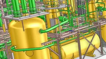
Industrial Applications
The petrochemical industry has been using 3D laser scanning for years, but more and more also other industrial sectors see the usefulness of this technique for the management of industrial plants
Show More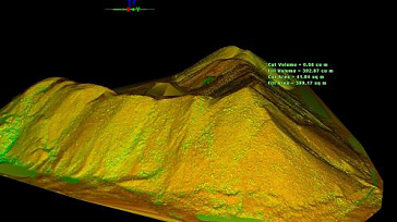
Volume Calculations
For the determination of the volumetric of stocks 3D laser scanning is used as a reliable and safer alternative to conventional surveying when accuracy is needed.
Show More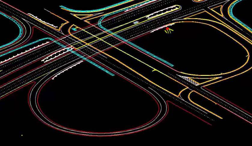
Infrastructure Applications
Complex structures in field of civil engineering such as bridges and tunnels are measured with a lot of detail with 3D laser scanning.
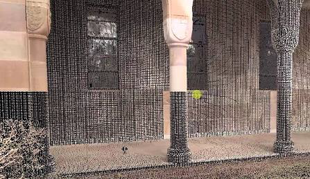
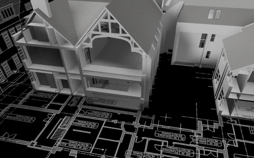
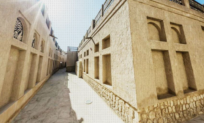
Architecture Applications
By scanning the facades and interiors of a monumental building a 3D point cloud of the entire building is created. This data serves as the basis for creating floor plans, facade plans, etc.
Show More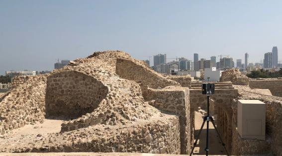
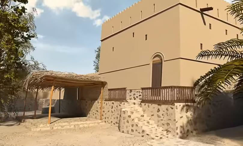
Archaeological/Heritage
Registration of geometric information of monuments, statues, archaeological remains, etc. makes a major contribution to the preservation of heritage.
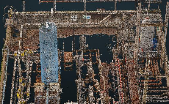
Registered Point Cloud
For Clients That Wish to Complete Their Own Post Production We Can Scan and Supply a Registered Point Cloud
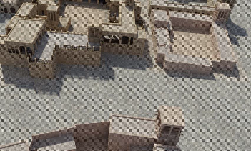
3D CAD Models
We offer a range of 3D CAD models in various formats and levels of detail to suit your needs
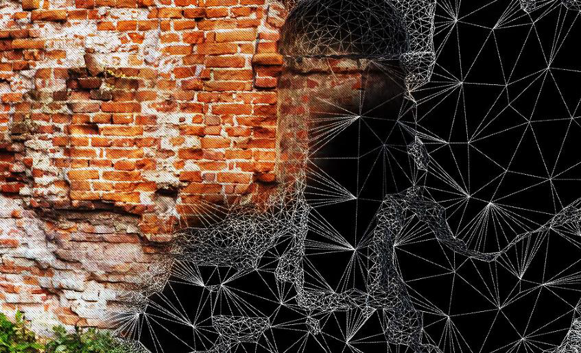
3D Mesh Models
3D mesh models are ideal solution for irregular or organically shaped objects
BIM Models
We can convert the point cloud into a BIM ready format, REVIT, AECOSIM and ARCHCAD models
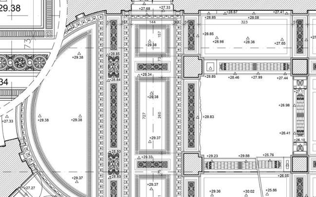
2D CAD Documentation
Highly accurate floor plans, sections & elevations can be generated in a variety of formats and levels of detail which can suit your specific requirements
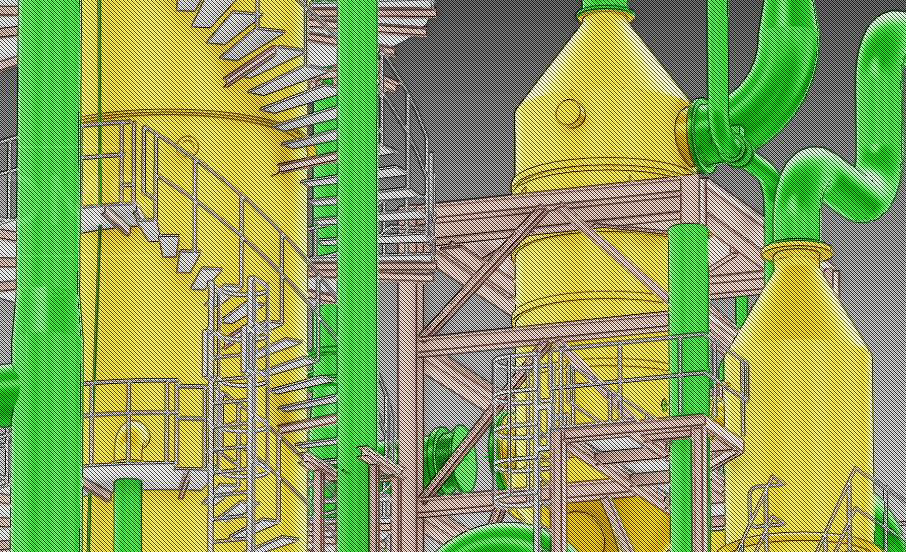
Plant Design Models
We offer conversion of point clouds into AVEVA PDMS, CADWORX and open plant models

Orthophotos
We offer Orthophotos – Metric Images Commonly Specified for Heritage Sites
3D Virtual Reality
We can professionally specified the objects, buildings spaces and create game-like environments with interactive 3d walkthroughs.
Panoramic Images
Panoramic images can be supplied referenced to a site map allowing the user to navigate around the site in a product called panotours
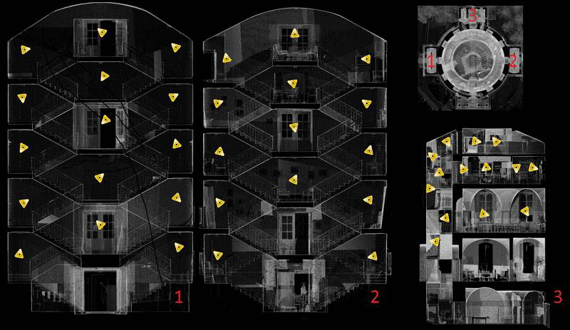
Leica TruView
TruView combines panoramic images with point cloud data, allowing the user to take measurements, mark up and share views. It provides an effective visual decision-making tool