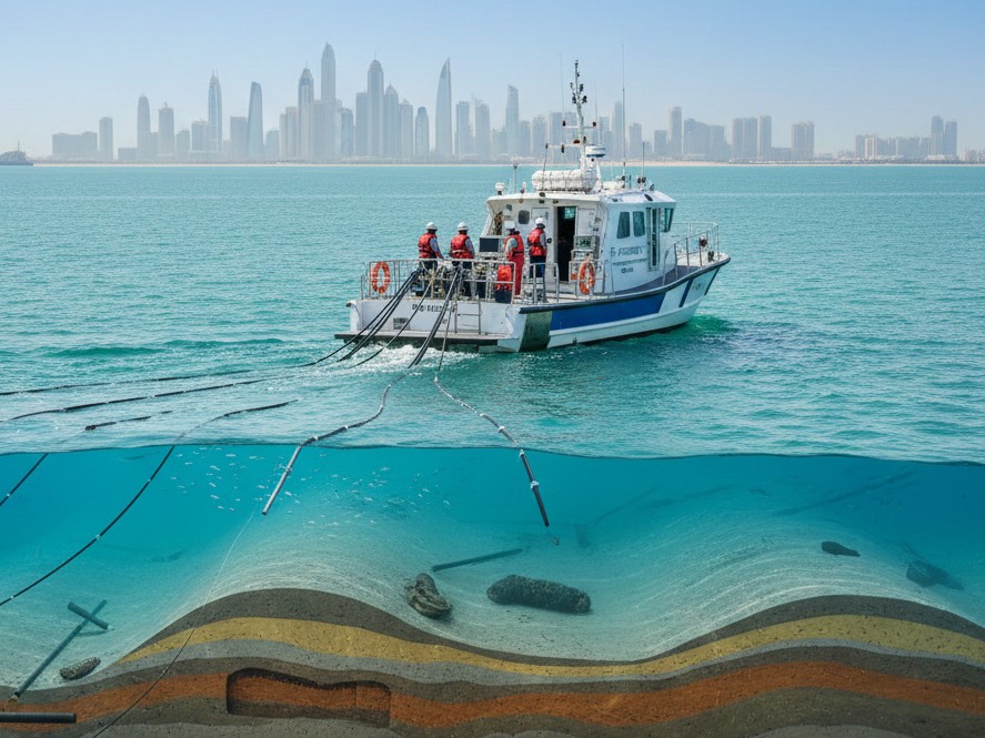
Hydrographic Surveys are conducted for obtaining information on water depth in Ports, Anchorages, Rivers, Inland-water ways, Dams, Reservoirs etc., and is required for Navigation, project-cum-engineering, irrigation, tidal power, tourism, inland water ways, pre-dredging, progressive and post-dredging, Siltation, erosion, pollution, flood control etc.
We offer hydrographic services as requirements vary with water depth, geophysical properties, and expected shipping types, five different orders of the survey are defined, each designed to cater to a range of needs. Our teams are highly experienced in conducting hydrographic survey services surveys in, the Oil & Gas, Energy, Telecommunications, and Marine Renewables sectors and many more.
Hydrographic survey services involve the collection and analysis of data about bodies of water and the land surrounding them. This may include measurements of water depth, the location and shape of the seafloor, and the location and characteristics of natural and man-made structures in the water and on the land. Hydrographic survey services are often used for a variety of purposes, including marine Renewables and many more.
Our latest hydrographic survey services is used independently or in combination depending on the requirements of your project and are managed by our wide community of qualified hydrographic survey services operators.
Order 2
Order 1b
Order 1a
Special order
Exclusive order
Ready to get started? Let's talk.
If you are in need of a residential land survey, commercial land survey or telecommunication land survey, Falcon Survey is the land surveying firm for your project.
We use cookies to give you the best experience. Cookie Policy
Subscribe to the updates!
FALCON SURVEY ENGINEERING CONSULTANTS is a pioneering Survey Engineering Company in U.A.E. established in the year of 2007, Falcon Survey Engineering built on a strong work ethic, honesty and a commitment to relationships.
Contact Info
209, 2nd Floor, Apricot Tower P.O. Box : 238544, Dubai Silicon Oasis Dubai - United Arab Emirates