HOME > ABOUT US
KNOW MORE
About Us
Falcon Survey Engineering Consultants, the most leading Organization in the field of Land Survey, Mobile Mapping solutions, Drone mapping and laser scanning solutions
KNOW MORE
FALCON SURVEY ENGINEERING CONSULTANTS
We specialize in topographical surveys, construction layouts, subdivision design, boundaries, pipelines, gas and oil well locations, unit surveys, digitizing, title and boundary surveys, wetlands delineation, map reproduction and preparation, and provide dedicated mapping services.
The purpose of the As-Built Survey is also commonly called a Physical Survey – is to show the property “as it is built” at a particular point in time. While a pre-construction survey is performed to document conditions prior to construction work being performed, the As-Built survey is conducted to show the current state of the site at various stages throughout the duration of a project. It also serves as a close-out document to verify that the work authorized was completed to plans and in compliance with all relevant standards and regulations.
An building surveying services builds upon the base map of a project and includes research at local agencies, ground-level topography data, land drawing and the documentation of visible work site. The advantage of this survey is that the new base map can be updated to show the current conditions of the site.
To comply with this we offer a fully comprehensive phased scanning of the building as it is constructed through various project phases. The result are point clouds which show an exact record of the building and the elements within it.
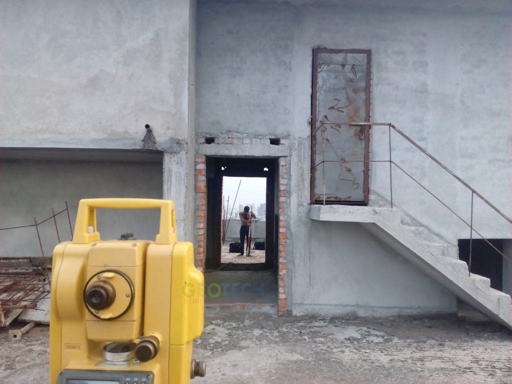
An as-built survey or a physical survey is done to show the property ‘as it is built’ at any particular point in time.
Show More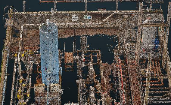
If you wish to complete your own post production, Falcon Surveys scan and supply a Registered Point Cloud.
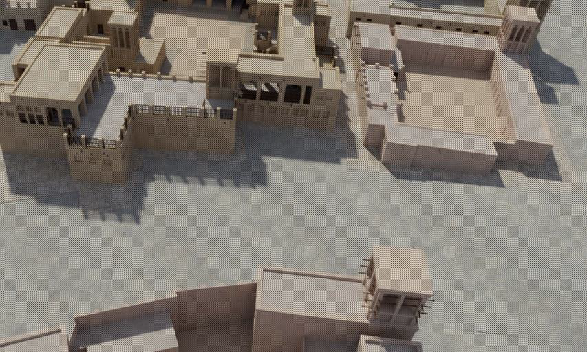
Our wide range of 3D CAD models come in many formats and levels of detail to best suit your business needs.

Our wide range of 3D CAD models come in many formats and levels of detail to best suit your business needs.
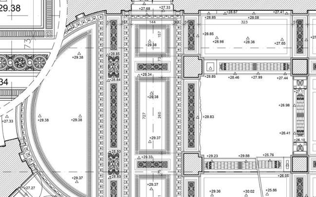
Generate highly accurate floor plans, sections & elevations in a variety of formats and levels of detail to suit your requirements with 2D CAD Documentation.
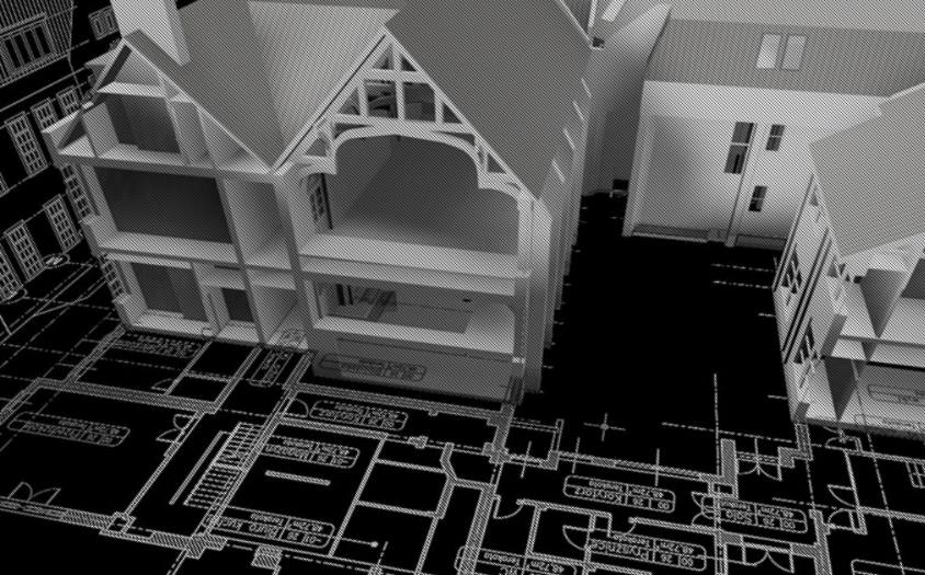
At Falcon Survey, we convert point cloud into a BIM ready format, REVIT, ARCHCAD and AECOSIM models.
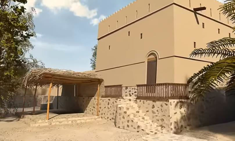
Using 3D Virtual Reality, we can digitize specified objects, buildings or spaces in order to create a game-like environment that has interactive 3d walkthroughs.
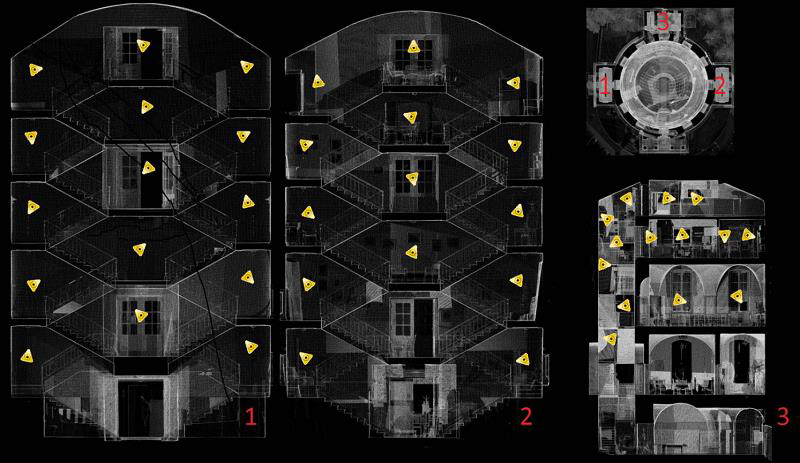
Take measurements, mark up and share views with Leica TruView. By combining panoramic images with point cloud data, it provides an effective visual decision-making tool.
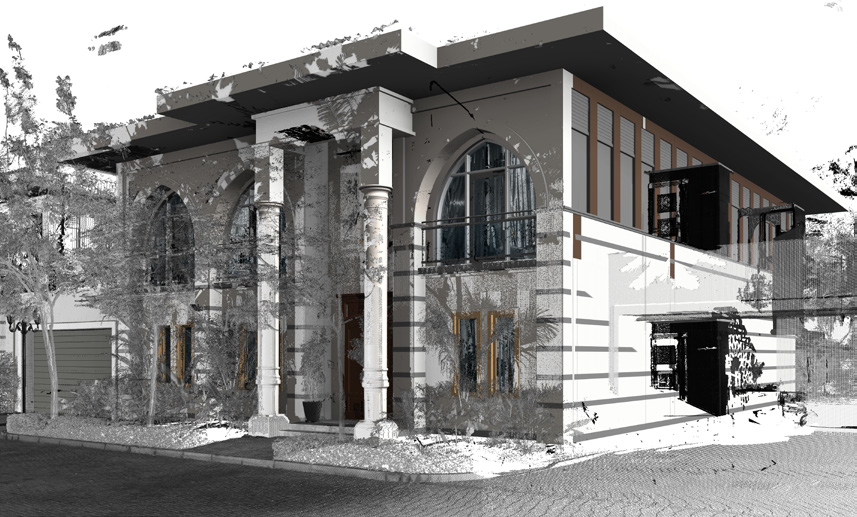
To comply with this we offer a fully comprehensive phased scanning of the building as it is constructed through various project phases. The result are point clouds which show an exact record of the building and the elements within it.
These point clouds can be loaded into the Building information Model (BIM) and can be used to identify error or change allowing the BIM to be easily amended to match the as-built condition or vice versa if the error hugely effects the following work.