+971 4 3271414
Related Services
Oceanographic Surveys provide measurement and monitoring of marine environmental conditions such as currents, waves, tides, water levels and water-column properties to support marine engineering, coastal development, environmental studies, dredging, offshore works and other marine projects.
We provide a high range of integrated oceanographic, hydrographic services with advanced equipment and environmental data acquisition ,analysis Reports.
We are always looking to perform as the field data acquisition arm of engineers, surveyors, constructions, clients and owners.
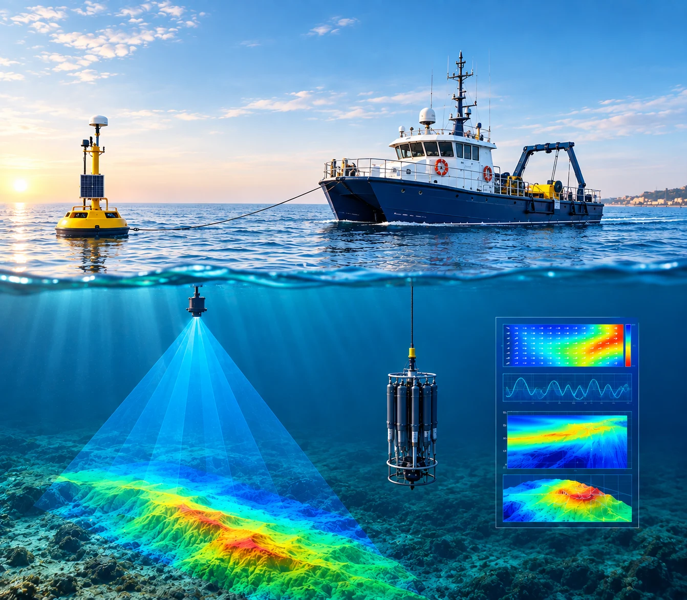
Oceanographic surveys provide reliable information about marine environments, seabed conditions, water characteristics, and coastal processes. Using advanced hydrographic equipment, marine sensors, and data-processing technologies, we collect accurate field data to support marine construction, offshore development, environmental studies, and coastal management projects.
Our oceanographic survey methods combine field measurements, remote sensing, underwater monitoring, and geospatial analysis to deliver a complete understanding of marine conditions.
Measures current speed and direction at different depths in the water column.
ADCP is one of the standard instruments used for current monitoring; NOAA describes bottom-mounted and vessel-mounted ADCPs as common current-measurement systems.Â
Wave Monitoring Systems
Used to measure parameters such as wave height, period and direction, depending on the selected instrument/system.
Tide Gauge / Water-Level Monitoring
Used to continuously measure sea-level and tidal water-level variations over the monitoring period.
Tide/water-level measurement is a fundamental oceanographic activity and is noticeably missing from Falcon’s current service list. NOAA similarly treats continuous water-level monitoring as a core oceanographic observation.Â