HOME > OUR LATEST TECHNOLOGIES

KNOW MORE ABOUT OUR ADVANCED

Technologies

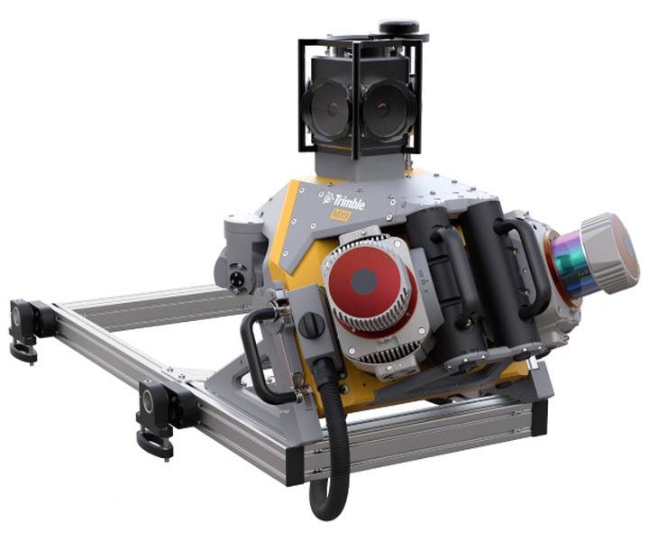
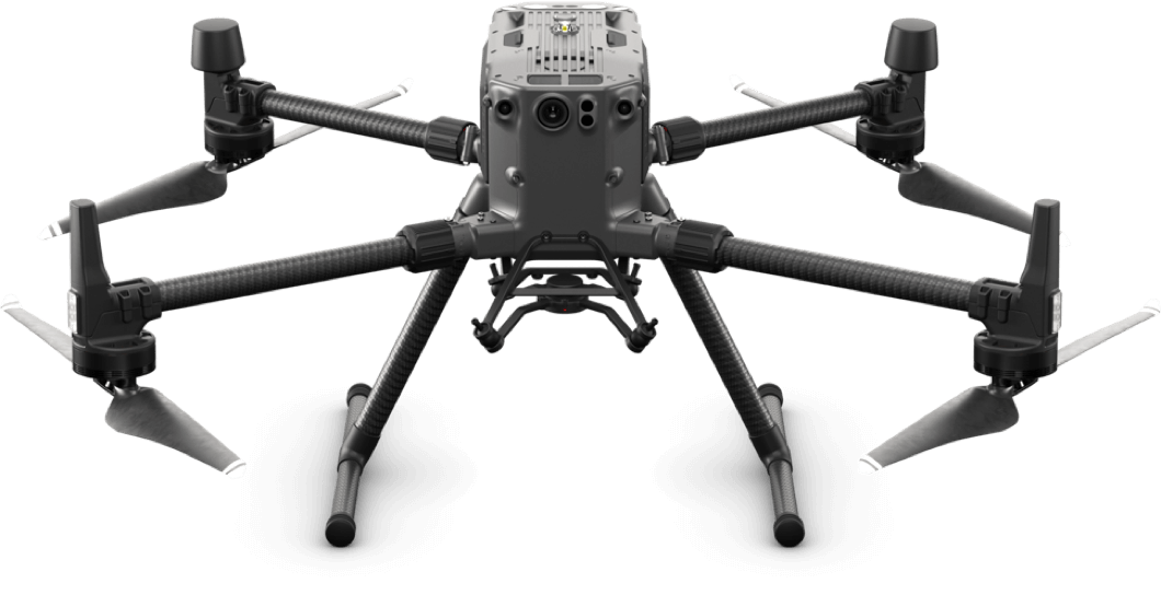
We are dependent on the data accuracy; therefore top-class surveying instruments are in great demand. Though there are many surveying products such as Total Stations, GNSS Systems, Controllers, etc. available in the market, the solutions provided by us are greatly reliable and loaded with features to complete the survey work easily.

Mobile Mapping System

Trimble MX9

A Mobile Mapping Solution for Large-Scale Scanning and Mapping Missions

The MX9 is a complete field-to-finish mobile mapping solution combining state-of-the-art, advanced hardware with intuitive field software and a reliable, efficient office software workflow.

The MX9 mounts on top of a vehicle and rapidly captures dense point clouds and images—both panoramic and multi-angle. Rich corridor data can be collected at highway speeds, significantly improving data collection on busy highways and avoiding costly lane closures.

Key Features

Applications

Whatever the application, the Trimble MX9 quickly and efficiently collects the highly precise and powerful data you need, and delivers it across your organization. Whether you are a city planner, work for a department of transportation or are a service provider, count on it for generating deliverables such as:

OUR DRONES

Unmanned Aerial Vehicle (UAV / Drones)

Aenean eu leo quam. Pellentesque ornare sem lacinia quam venenatis vestibulum. Etiam porta sem malesuada magna mollis euismod. Cras justo odio, dapibus ac facilisis in, egestas eget quam.

DRONE RTK 300

Drone RTK 300 is a refined airframe and propulsion system design gives you a more efficient and stable flight, even in harsh conditions.

DJI Phantom 4 RTK

senseFly eBee X Fixed Wing Drone

Map without Limits

The eBee X is the fixed-wing drone for all your mapping needs. Designed to boost the quality, efficiency and safety of your data collection, it has a camera to suit every job, the accuracy and coverage to meet every project’s requirements, and can work virtually every type of site.

X5-HT4 Pipeline CCTV Inspection Robot

X5-HT4 Pipeline CCTV Inspection Robot

Detection Through CCTV Pipe Inspection Equipments

The X5-HT pipeline CCTV inspection robot is a high-definition pipeline CCTV inspection robot, which can be controlled by a personal laptop or a dedicated controller. The laptop or dedicated controller is connected to other parts of the system through wireless (wired), and displays and stores high-definition detection videos in real time.

We do provide pipe periscope (Quickview), CCTV inspection robots, pipe sonar systems, sonar-CCTV systems, push rod cameras, video jetting nozzle, UV curing rehabilitation systems, 3D manhole scanners, GIS data management systems, and so on.

Pipe CCTV inspection refers to an endoscopic camera inspection system, which can also be understood as municipal pipe CCTV pipe inspection equipment, composed of a controller, cable reel, camera, and crawler. This CCTV pipe inspection equipment can navigate obstacles, move freely inside the drainage pipe, and timely transmit the internal information of the pipe to the external operation platform for comprehensive use, recording the condition of the pipe.

Our professional staffs will help guide you to the right system. Let our experts help!

List your requirements and we will do our best to get you the product you need!

What Is the Use of CCTV Pipe Inspection Equipment?

CCTV pipe inspection equipment can not only detect blockages inside the pipe but can also check the material, diameter, leakage, and damage of the pipe. Regular closed-circuit television drainage pipe inspections can greatly protect the pipe, identify and resolve issues, and extend the service life of drainage pipes.

Workers responsible for municipal operations can see through pipe inspection robots monitoring which section of the underground pipe has leaks, which section is compressed, and which section has more silt. Simply put, CCTV pipe inspection equipment is an intelligent device used to check the health of stormwater pipes, replacing the traditional method of visually inspecting the internal conditions of pipes.

Marine Surveying | USV Platforms

Hydrographic and Bathymetric Survey

Apache 4 Boat

The APACHE 4 USV is optimized for hydrological studies, supporting a range of ADCP and compact multi-beam systems. Its shallow draft, high accuracy, and stable hovering make it ideal for measuring water flow velocity and discharge. Compact and easy to handle, it ensures effortless site management, safe launches, and convenient car transport. With integrated GNSS+IMU technology, it provides reliable positioning and heading, enhancing ADCP and autopilot functionality for precise water flow analysis.

Perform high-quality flow and velocity measurements with stable GNSS positioning and automated navigation. Ideal for hydrologists conducting ADCP hydrographic cross-section flow measurements.

Maintain high accuracy under bridges with integrated GNSS and IMU sensors. The Apache 4 provides precise position and attitude data, compensating for hull sway and eliminating data outliers during GNSS outages.

With its central access shaft design, the APACHE 4 supports ADCPs such as the CHCNAV RS Series, M9, RTDP 1200, RiverPro and RiverRay. It also accommodates the CHCNAV HQ compact multibeam echosounder, side-scan sonar and water quality probes for end-to-end surveys.

Verify ADCP bottom-tracking data using the built-in single-beam echosounder. It provides water depth profiles in conjunction with flow velocity measurements, significantly extending the ADCP’s sounding range.

What Is the Use of Apache 4 Equipment?

The Apache 4 is designed for bathymetric and hydrographic surveys in lakes, rivers, and coastal areas, including shallow and challenging environments with single beam and multibeam echosounder, side-scan sonar and water quality probes for end-to-end surveys.

Are you looking for Survey

Ready to get started? Let's talk.

If you are in need of a residential land survey, commercial land survey or telecommunication land survey, Falcon Survey is the land surveying firm for your project.

About us

Falcon Survey Engineering Consultants is a pioneering Survey Engineering Company in UAE established in the  year of 2007, built on a strong work ethic, honesty and a commitment to relationships. Today Falcon is one of the leading organizations in the field of Land Surveying, Soil Investigation, Ariel Survey (UAV/Drone Mapping), Bathymetric Survey (Hydrographic), Underground Surveying, 3D Laser Scanning Surveying, Calibration Services, Material Testing as well as Geographic Surveys which has International Standard and Quality

Quick Contact

Saudi Arabia Office

© Copyright 2024 Falcon Group - All Rights Reserved

Call Now Button