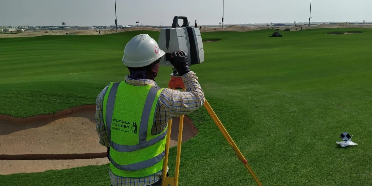
Topographical Survey

Falcon Survey Engineering Consultants
Topographical Survey
FALCON SURVEY

What is Topographical Survey

Falcon Survey has a topographical survey with an accurate depiction of a site property, area of land, defined boundary which is measurement and comprehensive conforming to the spatial considerations and therefore the summary of the on-site data capture processes. Falcon survey is operated across UAE including Dubai, Abu Dhabi, and Sharjah providing dedicated and expert professionals in topographical survey as insights of topological professionals are essential in this type. It is a detailed process that requires ensuring the accuracy of all of the reports provided.

Why Choose a Topographic Survey Services?

We produce accurate land and site surveys that capture all visible physical features from boundaries and buildings to trees, levels, and services. Our surveys are tailored to your needs and delivered in formats compatible with CAD, Revit, and GIS.

What We Include

Our Equipment & Technology

We use the latest in GPS, GNSS, Total Station, and UAV (drone) technologies to ensure high-precision data capture and efficient service delivery. All surveys are conducted by qualified professionals following industry standards.

We understand the importance of timelines in construction and development. Our team is committed to delivering accurate topographic survey data quickly and efficiently with flexible scheduling to suit your project’s timeline.


Related Services

Subjected Land

AutoCAD Topographical Survey (2D)

Sample Contour Map

FALCON SURVEY ENGINEERING CONSULTANTS is a pioneering Survey Engineering Company in U.A.E. established in the year of 2007, Falcon Survey Engineering built on a strong work ethic, honesty and a commitment to relationships.

Contact Info

Social Links