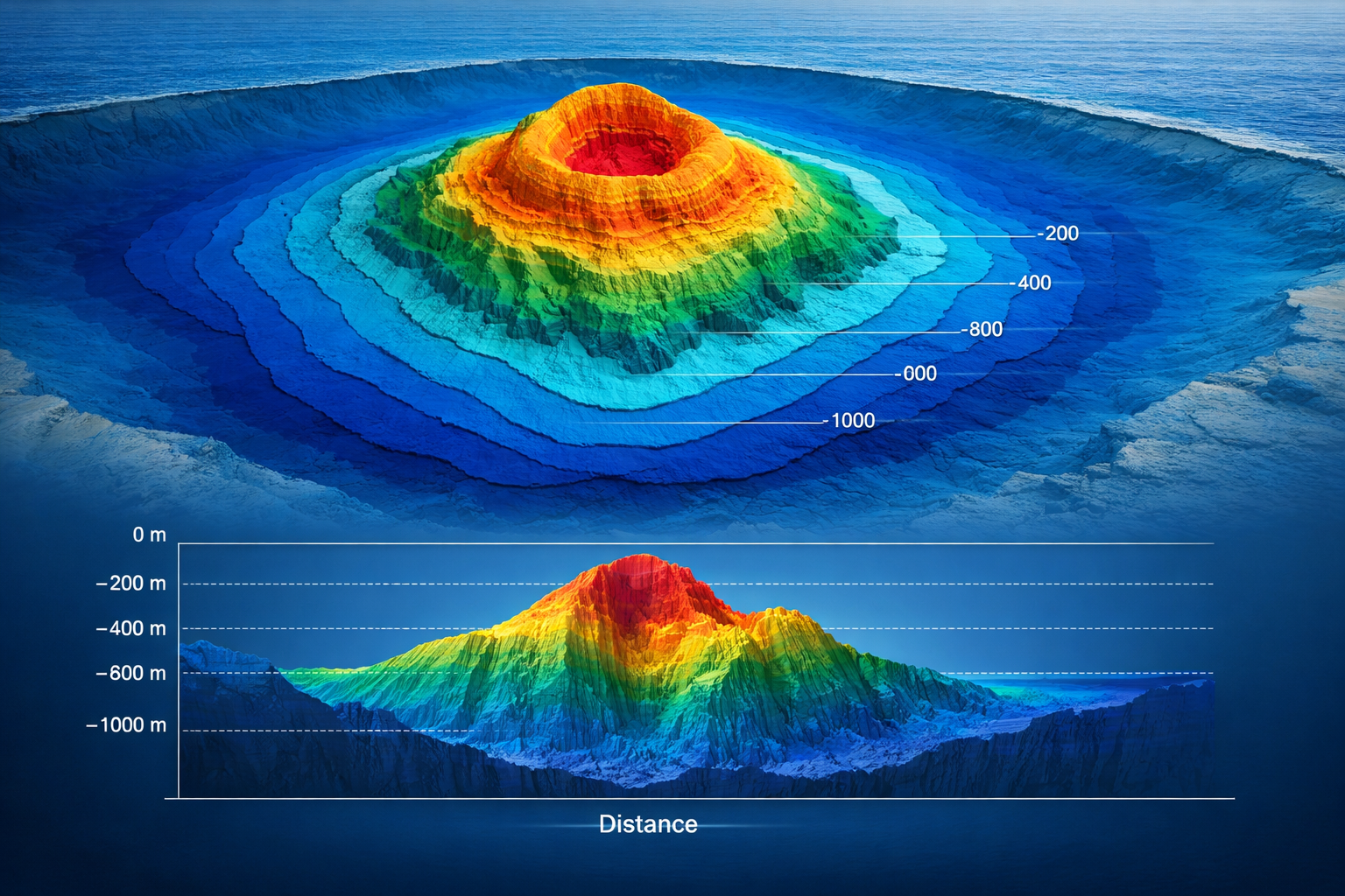
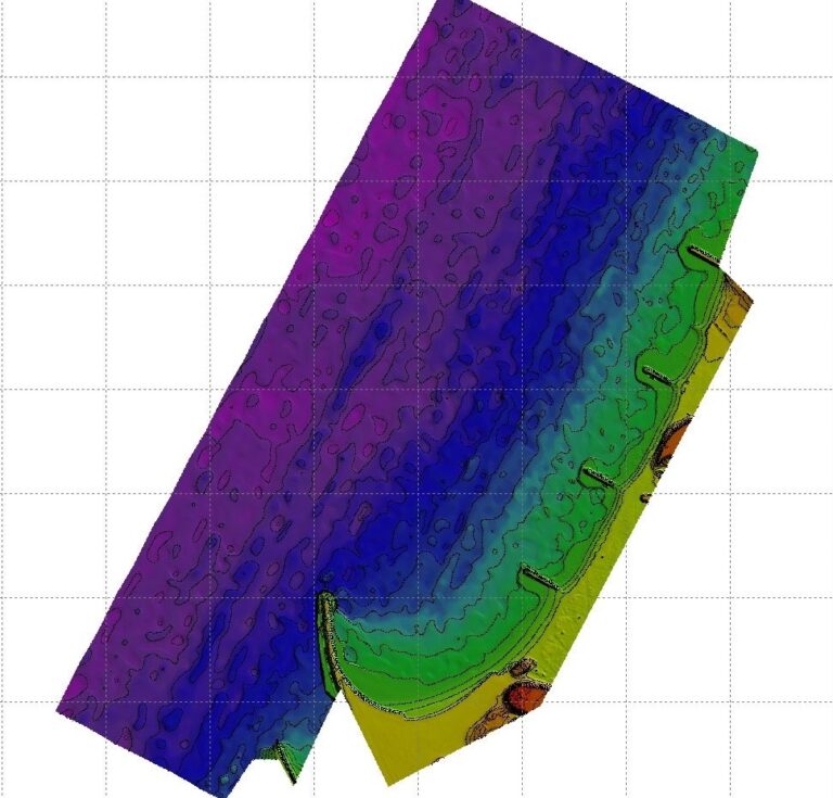
Falcon offers the charting and contouring for the survey data for the better presentations and for quick review of the data surveyed. A bathymetric chart is a type of map that depicts the submerged topography and physiographic features of ocean and sea bottoms. The primary purpose of the charting and contouring is to provide detailed depth contours of ocean seabed as well as provide the size, shape and distribution of underwater features.
A closed shape with increasingly smaller shapes inside of it can indicate a waterbody trench or a seamount, or underwater mountain, depending on whether the depths increase or decrease going inward. Falcon can produce the cross profiles with the Bathymetric data which are vertical sections through a feature.
Ready to get started? Let's talk.
If you are in need of a residential land survey, commercial land survey or telecommunication land survey, Falcon Survey is the land surveying firm for your project.
We use cookies to give you the best experience. Cookie Policy
Subscribe to the updates!
FALCON SURVEY ENGINEERING CONSULTANTS is a pioneering Survey Engineering Company in U.A.E. established in the year of 2007, Falcon Survey Engineering built on a strong work ethic, honesty and a commitment to relationships.
Contact Info
209, 2nd Floor, Apricot Tower P.O. Box : 238544, Dubai Silicon Oasis Dubai - United Arab Emirates