

Apr 28
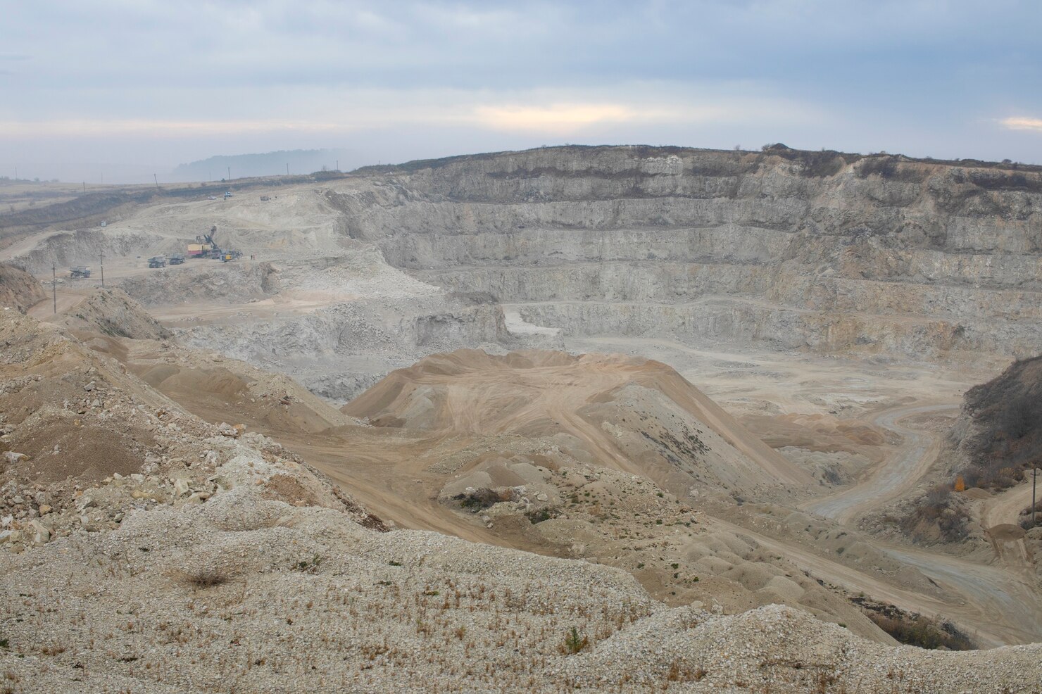
Mining & Aggregates
Get in touch with us Get in touch with us Any Questions? Let’s talk +971 4 3271414 Related Services Land Survey Mobile Mapping 3D Laser Scanning Under Ground Utility Bathymetric Survey Oceanographic Survey Pipeline Inspection Monitoring Inspection Mining and Aggregates AERIAL SURVEY APPLICATIONS Mining and aggregates Drones Survey is used…
Apr 23
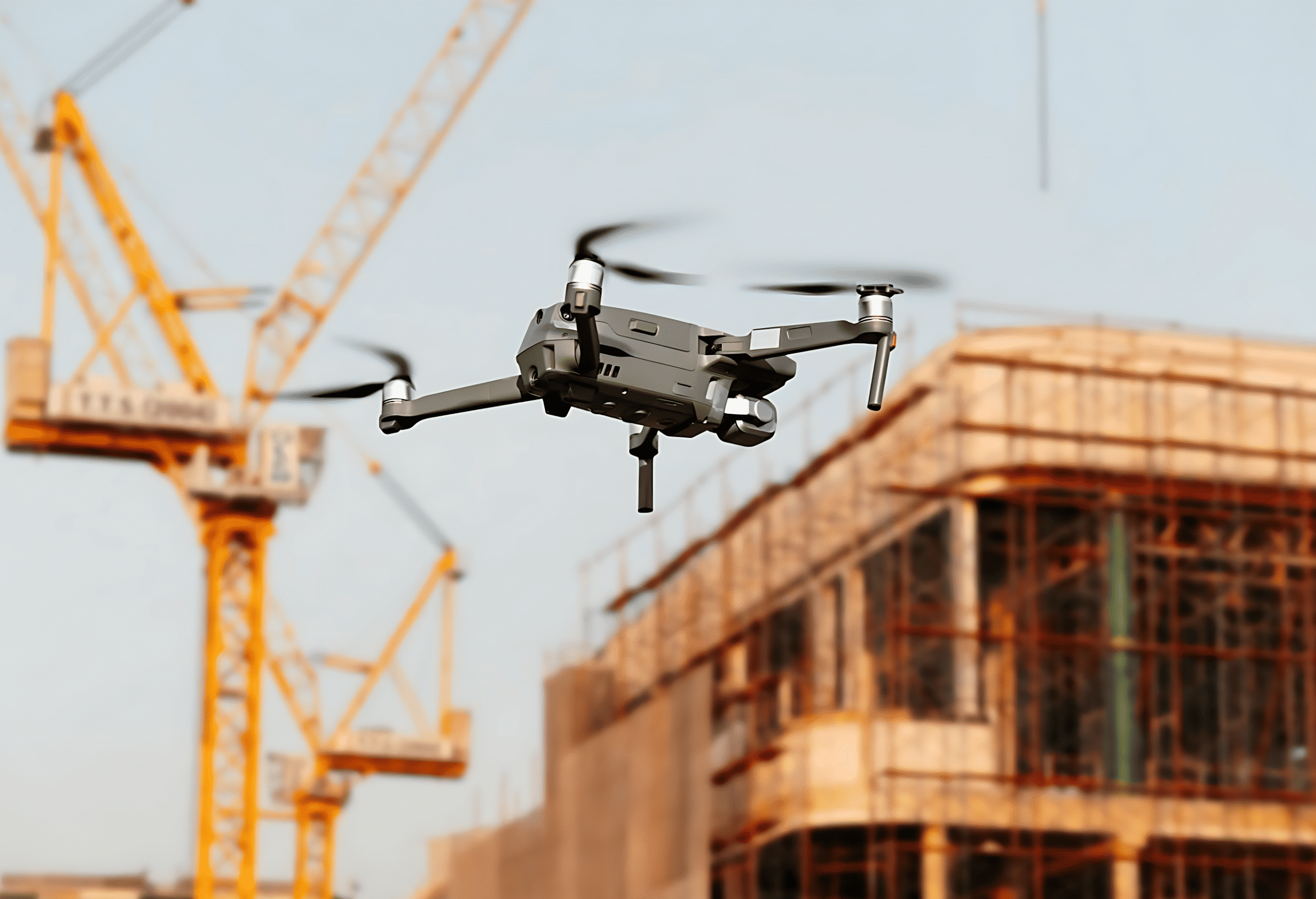
Construction Update Survey
Get in touch with us Get in touch with us Any Questions? Let’s talk +971 4 3271414 Related Services Land Survey Mobile Mapping 3D Laser Scanning Under Ground Utility Bathymetric Survey Oceanographic Survey Pipeline Inspection Monitoring Inspection Construction Update Survey AERIAL SURVEY APPLICATIONS Aerial Site Intelligence for Surveying & Construction…
Apr 21

Aerial Drone Mapping Solutions
Get in touch with us Get in touch with us Any Questions? Let’s talk +971 4 3271414 Related Services Land Survey Mobile Mapping 3D Laser Scanning Under Ground Utility Bathymetric Survey Oceanographic Survey Pipeline Inspection Monitoring Inspection Aerial / Drone Mapping FALCON SURVEY Aerial / Drone Mapping Solutions Falcon Survey…
Apr 21
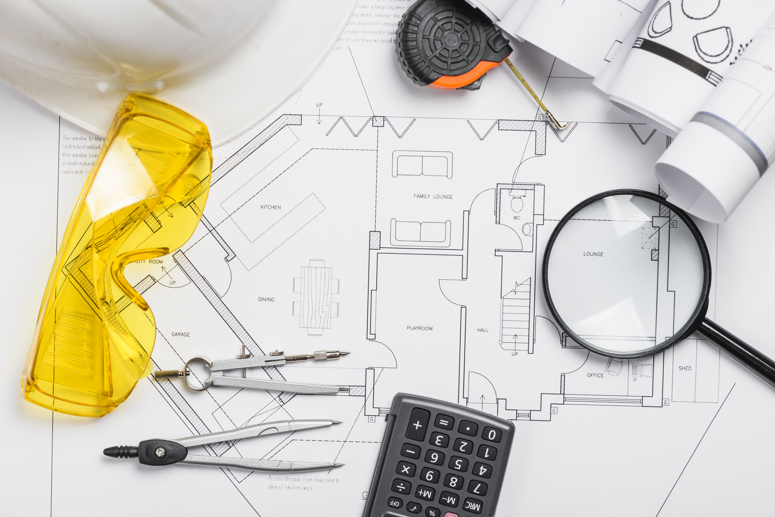
Construction Survey Services
Get in touch with us Get in touch with us Any Questions? Let’s talk +971 4 3271414 Related Services Land Survey Mobile Mapping 3D Laser Scanning Under Ground Utility Bathymetric Survey Oceanographic Survey Pipeline Inspection Monitoring Inspection Construction Survey Services FALCON SURVEY Construction Staking and Site Layout Surveys Prior to…