

Sep 25
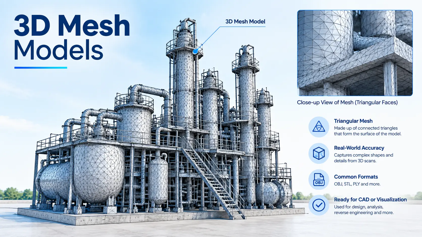
3D Mesh Models
Get in touch with us Get in touch with us Any Questions? Let’s talk +971 4 3271414 Related Services Land Survey Mobile Mapping Under Ground Utility Bathymetric Survey Oceanographic Survey Pipeline Inspection Drone Inspection Monitoring Inspection Volume Calculations FALCON SURVEY Volume Calculation Using 3D Laser Scanning Survey Accurate volume measurement…
Sep 25
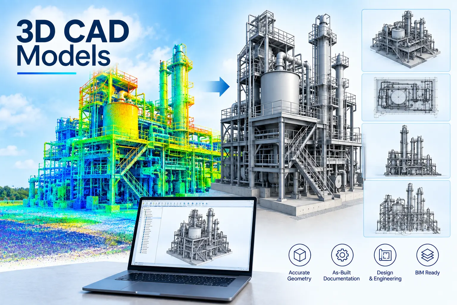
3D CAD Models
Get in touch with us Get in touch with us Any Questions? Let’s talk +971 4 3271414 Related Services Land Survey Mobile Mapping Under Ground Utility Bathymetric Survey Oceanographic Survey Pipeline Inspection Drone Inspection Monitoring Inspection 3D CAD Models FALCON SURVEY From Reality to Digital: 3D Modeling Through Laser Scanning…
Sep 24
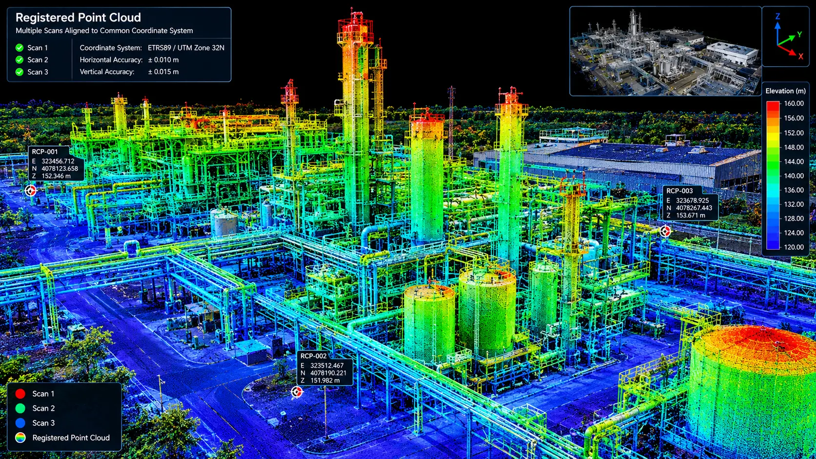
Registered Point Cloud
Get in touch with us Get in touch with us Any Questions? Let’s talk +971 4 3271414 Related Services Land Survey Mobile Mapping Under Ground Utility Bathymetric Survey Oceanographic Survey Pipeline Inspection Drone Inspection Monitoring Inspection Registered Point Cloud FALCON SURVEY Accurate volume measurement is essential for excavation, earthwork, stockpile…
Sep 24
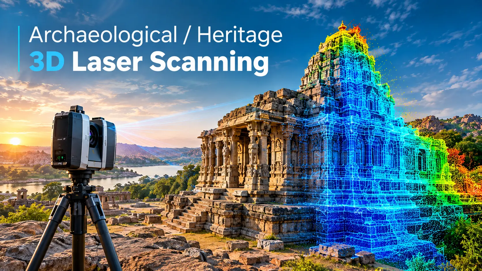
Archaeological 3D Scanning / Heritage Surveying
Get in touch with us Get in touch with us Any Questions? Let’s talk +971 4 3271414 Related Services Land Survey Mobile Mapping Under Ground Utility Bathymetric Survey Oceanographic Survey Pipeline Inspection Drone Inspection Monitoring Inspection Archaeological or Heritage 3D Laser Scanning FALCON SURVEY Preserving archaeological sites and heritage structures…