

Oct 10
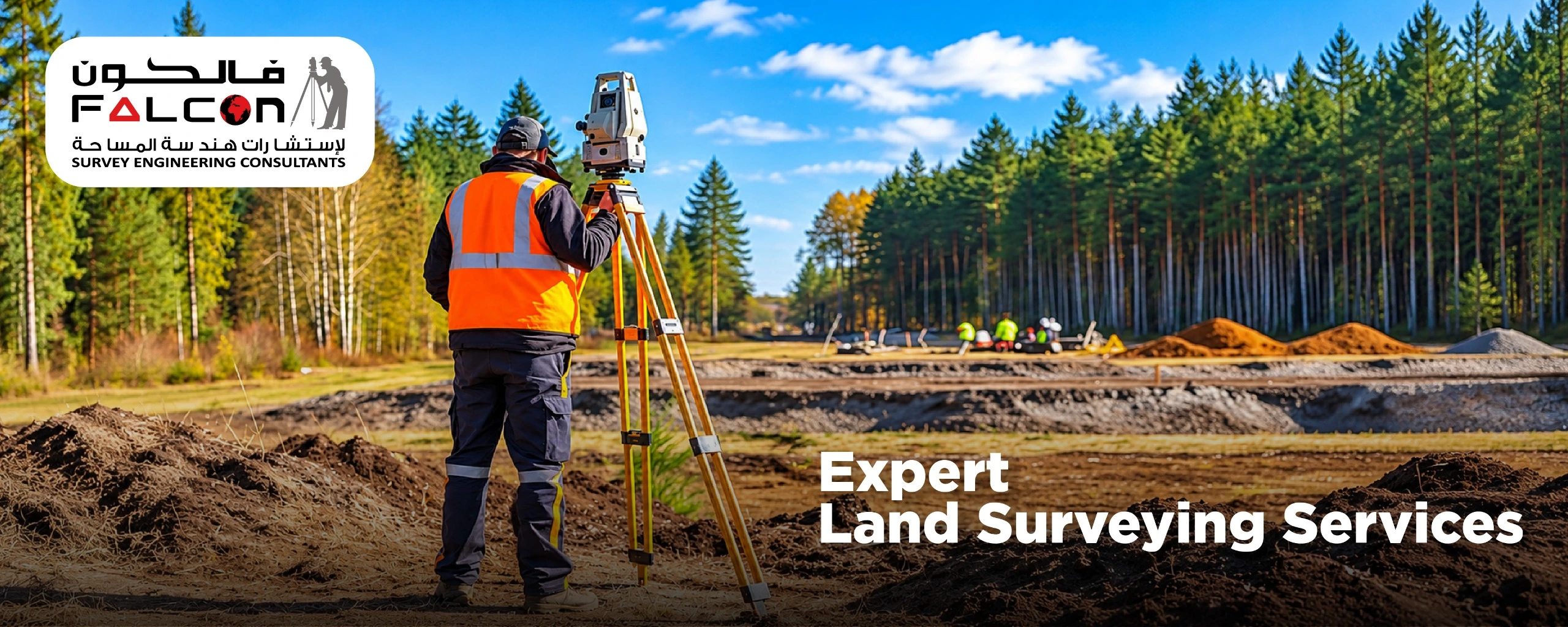
Professional Land Surveying Ensures Accurate Project Planning
Each successful construction project start with a accurate understanding of the land. Before designing a building, developing a road, or preparing a construction site, it is essential to know the exact dimensions, boundaries, elevations, and physical features of the property. This is where professional land surveying plays a vital role…
Oct 9

Why Is a Topographical Survey Important Before Construction?
Expert topographic survey services offer a comprehensive view of the locations of buildings and land. The survey examines and documents observable physical characteristics, both man-made and natural. Ground levels and contours are also recorded. This data is used by engineers, contractors, architects, and developers to find possible problems and…
Oct 6

A Practical Guide to Drone Mapping and Data Capture
Drone mapping is the technique of gathering georeferenced data over a region using an unmanned aircraft fitted with a camera or remote sensor. Specialized software turns the data into measurable outputs such as Orth mosaic maps, point clouds, 3D models, elevation surfaces, contour maps, and vegetation indices. Drone mapping…
Oct 2

Understanding Reverse Engineering and Its Practical Impact
The reverse design process for a part or tool is referred to as reverse engineering, sometimes called back engineering or backward engineering. Here, the data is obtained directly from the part or tool itself, in contrast to the traditional development process for a part, where the design data is usually…