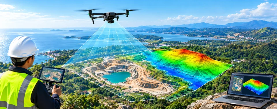
Drone mapping is the technique of gathering georeferenced data over a region using an unmanned aircraft fitted with a camera or remote sensor. Specialized software turns the data into measurable outputs such as Orth mosaic maps, point clouds, 3D models, elevation surfaces, contour maps, and vegetation indices.
Drone mapping adheres to a predetermined data-collection methodology, in contrast to conventional aerial photography. The airplane flies a repetitive course while the sensor takes overlapping photos or measurements. Positioning Positioning the positioning the positioning the ground, and quality quality coordination of the information.
The outcome is more than just an aerial photograph. It is a spatial dataset that can support surveying, engineering, building, environmental monitoring, agriculture, infrastructure management, and research
How Drone Mapping Works
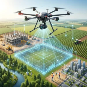
Drone mapping uses aerial mapping technology, in contrast to conventional mapping and drone surveying techniques. The drones capture aerial photos, which are then combined using sophisticated software to produce a precise depiction of any particular location.
Photogrammetry is the process of gathering and merging overlapping photos taken from different perspectives to create a comprehensive and precise depiction of any topography. connects every project area to an actual global coordinate, enabling teams to drill down digitally with more precision and detail than they could possibly accomplish with the human eye.
A digital duplicate of your building project is created each time a drone is sent out, enabling you to monitor progress and compare data against a baseline.
1. Define the Deliverable
In order to establish what the final mapping starts. A building crew might require the most recent orthomosaic and volumetric measurements. A LiDAR-derived terrain model can be necessary for a surveyor working under vegetation. Multispectral data that illustrates variations in crop conditions may be required by an agricultural researcher.
2. Choose the Mapping and Aircraft Sensor
The following can be carried out with sensors:
For photogrammetry, orthomosaics, inspections, and 3D reconstruction, RGB cameras record visible images.
LiDAR sensors create three-dimensional point clouds by using the accurate drone survey mapping and use laser pulses to detect distance.
Certain wavelength bands that can show patterns in soil, water, and plants are captured by multispectral sensors.
Establish Positioning and Control
Every map must be connected to a known position on Earth. Standard GNSS may be adequate for general documentation, but professional workflows often use Real-Time Kinematic, Post-Processed Kinematic, ground control points, or a combination of these methods to improve positioning.
Plan the Flight
Typically, mapping missions are flown as terrain-following routes, automated grids, or corridors. The survey boundary, flight altitude, ground sampling distance, image overlap, line spacing, aircraft speed, sensor settings, and takeoff and landing sites are all determined by flight planning.
In photogrammetry, processing software can discover matching features between photos and recreate the mapped area when there is enough forward and side overlap. For LiDAR, altitude, speed, scan angle, pulse rate, and line spacing effect point density and coverage.
Gather the Information
The payload gathers sensor readings or images while the aircraft travels along the intended path. Maintaining consistency is essential. Variations in altitude, aircraft motion, image exposure, sensor orientation, GNSS quality, or coverage might result in gaps and lower output quality.
As soon as soon as the flight is finished, specialized software is finished, the specialized software is finished. Photogrammetry software reconstructs the site as a point cloud, surface, model, or orthomosaic by identifying common characteristics across overlapping photos and estimating camera positions.
LiDAR processing software combines laser readings with GNSS and inertial data to calculate the position of individual points.
What Can Be Produced by Drone Mapping?
Drone is not a single deliver. For various users and applications, the same mission may yield multiple outcomes.
Maps with Orthomosaics
An orthomosaic is a collection of aerial photos that have been geometrically rectified and integrated into a continuous map. Unlike a conventional stitched panorama, an orthomosaic is matched to real-world coordinates and can be used for measurement, comparison, and GIS research.
Point Clouds Point Clouds
A three-dimensional collection of discrete data points that represent the surfaces photographed during a mapping expedition is called a point cloud.