

Oct 6
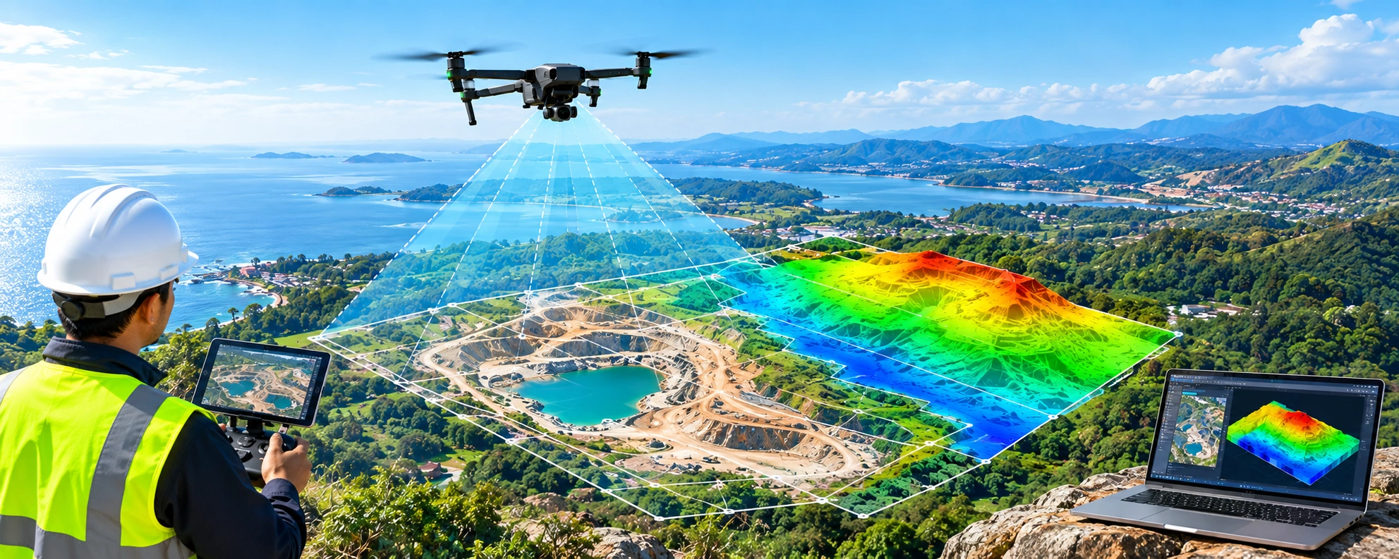
A Practical Guide to Drone Mapping and Data Capture
Drone mapping is the technique of gathering georeferenced data over a region using an unmanned aircraft fitted with a camera or remote sensor. Specialized software turns the data into measurable outputs such as Orth mosaic maps, point clouds, 3D models, elevation surfaces, contour maps, and vegetation indices. Drone mapping…
Oct 2

Understanding Reverse Engineering and Its Practical Impact
The reverse design process for a part or tool is referred to as reverse engineering, sometimes called back engineering or backward engineering. Here, the data is obtained directly from the part or tool itself, in contrast to the traditional development process for a part, where the design data is usually…
- 1
- 2