

Nov 14
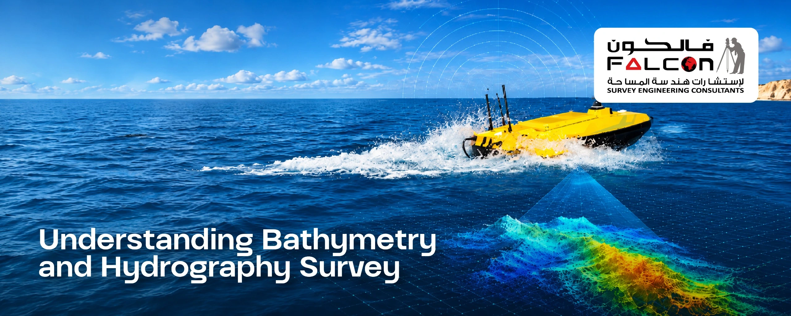
Understanding Bathymetry and Hydrography Survey
The Foundation of Accurate Underwater Mapping Understanding underwater environments is essential for marine construction, port development, coastal engineering, and offshore infrastructure projects. A hydrographic bathymetric survey provides detailed information about water depths, seabed elevations, underwater features, and marine conditions that influence project planning and execution. By combining hydrographic data collection…