


Any Questions? Let’s talk
+971 4 3271414
Related Services
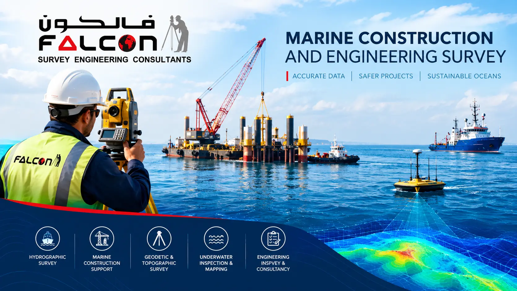
Marine Mapping The Seabed Supporting Progress
Falcon provides hydrographic and marine survey support for construction and engineering projects such as quay walls, jetties, marinas, breakwaters, bridges, offshore structures and other marine developments.
We provide accurate geospatial data and technical insights for the planning, design, construction, and maintenance of marine infrastructure. Using advanced surveying technology and experienced personnel, we support projects in coastal, offshore, and nearshore environments.
From port development and marine structures to dredging, reclamation, pipelines, and underwater construction, our surveys help ensure accurate positioning, safe execution, and efficient project management.
We calculate accurate measurements, positioning, and site information for the successful execution of marine and coastal construction projects. We support contractors, consultants, developers, and project owners throughout the planning, construction, monitoring, and completion stages.
Using advanced hydrographic and land-based surveying equipment, our experienced survey team delivers reliable data for ports, harbours, jetties, bridges, offshore structures, reclamation works, pipelines, and other marine infrastructure projects.
Accurate Data for Better Construction
Marine construction surveys help identify seabed conditions, confirm design levels, monitor construction progress, and verify that completed works meet project specifications. Accurate survey data enables better decision-making, reduces construction risks, and helps prevent costly delays and rework.
We provide accurate measurement and mapping of water depths, seabed topography and related underwater features to support marine engineering, dredging, reclamation, navigation, port development, coastal projects and other marine works.
Supporting Your Project from Start to Finish
From initial site investigation to final as-built documentation, our Marine Construction Survey services provide the technical support required for safe, efficient, and compliant project delivery.
We use GNSS, total stations, single-beam and multibeam echo sounders, UAV mapping, LiDAR, marine positioning systems, and specialised software to deliver precise and dependable survey results, even in challenging coastal and offshore environments.
Whether you require a river survey, seabed map, dredging calculation, or marine construction survey, our USV bathymetric surveying solutions provide accurate, safe, and cost-effective results.
Our Services
- Pre-Construction Survey
- Survey of the existing seabed and surrounding area before commencement of marine construction works.
- Construction Progress Survey
- Periodic surveys carried out during construction to monitor progress and verify works against the approved design.
- As-Built / Post-Construction Survey
- Final survey after completion of works to verify the constructed condition, levels, alignment and surrounding seabed.
- Marine Structure Positioning
- Positioning support for marine structures such as piles, quay walls, jetties, pontoons, buoys and other construction elements.
- Seabed Level & Clearance Verification
- Verification of seabed levels, clearances and surrounding bathymetry where required for marine structures.
- Topographic & Bathymetric Integration
- Combined land and marine survey where the project requires continuous coverage from the shoreline to underwater areas.
Applications
Quay walls > Jetties > Marinas > Breakwaters > Bridges > Pile structures > Offshore structures > Waterfront developments