Dredging and reclamation monitoring require accurate, continuous monitoring to ensure that excavation, material placement, and seabed development are carried out according to approved designs and project requirements. Dredge & Reclamation Monitoring Surveys provide reliable survey data for controlling dredging operations, verifying reclamation progress, and measuring changes in seabed and reclaimed areas.
Throughout the many phases of dredging and reclamation projects, we offer through hydrographic and land surveying support, including:
Pre-Dredge Surveys – Establishing existing seabed levels and site conditions before dredging begins.
Dredging Progress Surveys – Monitoring dredged areas and comparing actual seabed levels with design requirements.
Post-Dredge / As-Built Surveys – Verifying final dredged depths, profiles, and completed excavation areas.
Reclamation Monitoring – Measuring the progress and volume of fill placement in reclamation areas.
Volume Calculations – Determining dredged and reclaimed quantities using survey data and digital terrain models.
Pre- and Post-Dredge Comparisons – Identifying changes in seabed levels and calculating material removed or placed.
Channel & Basin Monitoring – Keeping an eye on berthing areas, turning basins, navigation channels, and other dredged areas. Measuring accessible, excavated, or deposited reclamation materials is done through stockpile and borrow area surveys
Settlement & Consolidation Monitoring – Monitoring changes in reclaimed ground levels over time.
In addition to ensuring that ports, docks, wharves, and jetties are of sufficient dimensions for the big vessels involved in both domestic and international commerce, maintenance dredging is required to maintain safe operational water depths for navigation. Maintenance dredging can be necessary on an as-needed basis after storms or other hydrodynamic events, but it is typically a regular, possibly yearly, ongoing, long-term job.
Hydrographic Monitoring
Our hydrographic surveys offer comprehensive details about seabed conditions and underwater geography. Survey data can be utilized to support safe and effective project execution, track dredging accuracy, and detect over- or under-dredging.
Multibeam echo sounders, single-beam echo sounders, GNSS location, motion sensors, tide measurements, and other hydrographic equipment may be used in surveys, depending on the needs of the project.
Reclamation Monitoring
Regular surveys aid in monitoring changes in ground elevation, final levels, and fill placement for land reclamation operations. Project teams can precisely compute placed volumes and compare actual progress to design surfaces through periodic monitoring.
Dredging Quantity & Volume Calculations
Accurate measurement of dredged material is essential for monitoring project progress, verifying quantities, supporting payment certification, and maintaining effective project control. Falcon provides reliable Dredging Quantity & Volume Calculation services using accurate hydrographic survey data to determine dredged volumes and analyze changes in seabed levels.
Accurate Quantity Reporting
Falcon provides comprehensible and organized quantity reports, volume summaries, drawings, and graphical outputs based on the survey and volume analysis. These deliverables can help with project documentation, contractor measurement, progress tracking, and quantity verification.
Falcon’s Dredging Quantity & Volume Calculation services offer solid quantity measurements for dredging projects by combining precise survey data, methodical analysis, and trustworthy reporting.
FALCON SURVEY ENGINEERING CONSULTANTS is a pioneering Survey Engineering Company in U.A.E. established in the year of 2007, Falcon Survey Engineering built on a strong work ethic, honesty and a commitment to relationships.
Contact Info
209, 2nd Floor, Apricot Tower P.O. Box : 238544, Dubai Silicon Oasis Dubai - United Arab Emirates


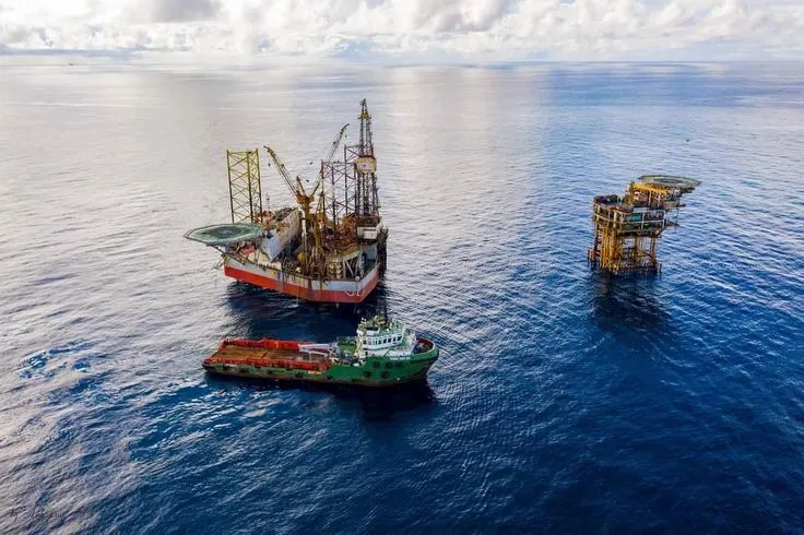
 Pre-Dredge Surveys – Establishing existing seabed levels and site conditions before dredging begins.