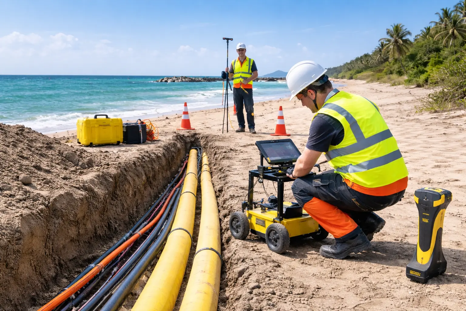
Route Survey & Seabed Mapping
The gathering, analyzing, and sharing of information about the seabed and the layers beneath it is essential for various activities that take place above the water, such as planning, setting up, and keeping cables and pipelines in good condition, building along the coast, and maintaining infrastructure. We provides a full set of survey and seabed mapping services, which include desktop studies, topographic surveys for landings, shallow-water surveys (including those done by divers), bathymetry, and surveys for planning the routes of submarine cables and pipelines, covering the entire path from the landing point, near-shore areas, to the deep ocean. Falcon’s team has a lot of experience in specific offshore survey services.
These services include:
• Hydrographic Surveys
• Sub Bottom Profiling
• Electromagnetic Services
• Side Scan Sonar Surveys
• Cable & Pipe Route Surveys
• ROV Surveys
Pipeline Route Surveys
Pipeline route surveys support the development and installation of subsea pipelines by providing reliable information about the proposed corridor. Survey data can help identify seabed features, existing infrastructure, and potential constraints that may need to be considered during engineering and construction.
Subsea Cable Route Surveys
Subsea cable route surveys are used for offshore power cables, telecommunications cables, and other marine infrastructure. Accurate route information helps project teams assess seabed conditions and plan suitable cable corridors for installation and future monitoring.
Obstruction & Seabed Feature Identification
Survey data can help identify potential obstructions and significant seabed features along the proposed route. Where required, additional marine or geophysical survey techniques can be incorporated to provide a more comprehensive understanding of the survey area.
Integrated Marine Survey Services
A successful offshore project begins with a clear understanding of the marine environment. Pipeline and Cable Route Surveys can be seamlessly integrated with a wide range of complementary marine survey services to provide a complete picture of seabed conditions, water depths, subsurface characteristics, and environmental factors along the proposed route.
Using advanced survey equipment, accurate positioning systems, and synchronized data acquisition, multiple datasets can be collected and correlated to create reliable maps, detailed seabed models, and comprehensive route assessments. This helps reduce uncertainties, minimize offshore risks, and support efficient engineering and construction planning.
Whether the project involves subsea pipelines, power cables, communication cables, offshore energy infrastructure, or marine construction, an integrated survey strategy delivers the detailed information required to move from initial route planning to safe and efficient project execution.