

Marine Positioning Survey

+971 4 3271414
Related Services
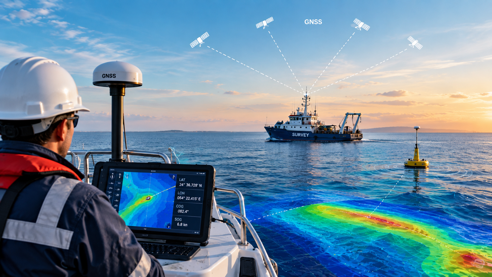
Falcon Survey provides marine positioning services to support accurate and reliable positioning of survey vessels, equipment, and offshore assets during marine and hydrographic operations. Precise positioning is essential for collecting reliable spatial data and ensuring that survey activities are carried out safely and efficiently.
Our positioning solutions can support hydrographic surveys, offshore construction, dredging, navigation surveys, coastal projects, marine infrastructure, and other offshore activities where accurate geographical positioning is required.
Marine positioning provides the geographical reference required for collecting and integrating survey data. By combining positioning information with hydrographic and geophysical survey systems, survey teams can accurately determine the location of collected measurements and survey features.
Accurate positioning can help establish reliable coordinates for:
Marine positioning is also important during offshore construction and infrastructure projects. Accurate spatial positioning can assist in locating vessels, work areas, structures, and survey equipment relative to project coordinates and planned locations.
It can support activities associated with:
For dredging and navigation-related projects, reliable positioning helps survey teams accurately define survey areas, monitor changes in seabed levels, and maintain consistent positioning between survey operations.
Positioning data can be used alongside bathymetric measurements to support channel surveys, dredging assessments, volume calculations, and monitoring of marine areas.
Marine positioning can be integrated with other survey systems to provide a common spatial reference for collected data. Depending on project requirements, positioning information may be used together with hydrographic, geophysical, oceanographic, and environmental survey data.
This integration helps produce consistent and geographically referenced datasets for engineering, construction, environmental assessment, and marine planning.
Reliable positioning is essential for connecting survey measurements to their actual geographical locations. Accurate positioning helps improve the consistency of marine survey data and supports better decision-making throughout the planning, construction, monitoring, and maintenance stages of marine projects.
Falcon Survey combines marine survey expertise with positioning and spatial data acquisition to support clients across hydrographic, offshore, coastal, and marine engineering applications.
It confirms whether the required depths have been achieved and helps calculate the actual volume of material removed. The frequency depends on project size, dredging activity, environmental conditions, and contract requirements. Surveys may be carried out daily, weekly, monthly, or at key project milestones.
Depending on project requirements, deliverables may include Route alignment, drawings, Topographic and utility survey plans, Longitudinal profiles and cross-sections, Underground utility maps, Bathymetric charts, 3D terrain models
Orthophotos and drone mapping outputs, GIS databases and spatial data, As-built survey documentation, Technical survey reports
Whether you require a river survey, seabed map, dredging calculation, or marine construction survey, our USV bathymetric surveying solutions provide accurate, safe, and cost-effective results.
From vessel navigation and dredging operations to offshore construction and subsea installation, our Marine Positioning Services provide the accuracy and confidence required for successful marine operations.