


+971 4 3271414
Related Services
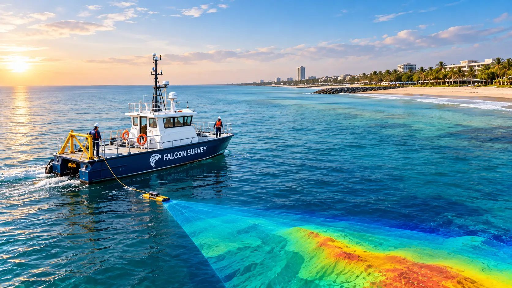
We precisely map underwater topography near shorelines, specializing in near-shore bathymetric surveys. For projects involving coastal development or maritime construction, this data is essential because it enables engineers to evaluate underwater characteristics, control construction hazards, and make decisions that take environmental and navigational safety into account.
Coastal and nearshore environments are dynamic, complex, and constantly changing. At Falcon Survey, we provide reliable coastal and nearshore survey solutions that help clients understand seabed conditions, coastal morphology, water depths, and underwater features with confidence.
Our survey teams combine modern hydrographic technologies, experienced personnel, and robust data-processing techniques to deliver accurate information for marine construction, coastal infrastructure, dredging, reclamation, offshore development, environmental studies, and engineering projects.
From shallow coastal waters to nearshore project areas, our surveys are designed to provide a detailed understanding of the marine environment.
Our coastal & nearshore survey services include:
Falcon uses modern hydrographic and positioning technologies to capture precise and dependable survey data. Depending on project requirements, our survey solutions can incorporate GNSS positioning, echo sounding, multibeam and single-beam systems, side-scan sonar, UAV/land surveying technologies, and advanced data-processing workflows.
This enables us to create detailed bathymetric models, seabed maps, profiles, charts, and digital deliverables that support informed engineering and project decisions.
Whether you are planning a coastal infrastructure project, monitoring shoreline changes, preparing for dredging, or developing a nearshore facility, accurate survey information is fundamental to successful planning and execution.
Precision Where It Matters
We focus on capturing accurate, high-resolution information across the survey area, helping you understand seabed conditions, depths, coastal profiles, and underwater features with greater confidence.
Technology That Performs
We use modern hydrographic, positioning, and data-acquisition technologies selected to suit the specific conditions and objectives of each project.
Expertise in the Field
Our experienced survey professionals understand the challenges of working in dynamic coastal and nearshore environments and apply practical methodologies to achieve reliable results.
Solutions Around Your Project
Every project is different. We tailor our survey approach to your location, water conditions, scope, schedule, and technical requirements.
Data You Can Depend On
From field acquisition through processing and final delivery, we maintain a structured workflow to transform survey observations into clear, usable information for engineering and project planning.
The coastal environment is constantly changing. Accurate survey information provides the foundation for understanding these changes and planning with greater certainty.
Whether it is coastal development, dredging, reclamation, marine infrastructure, shoreline monitoring, or nearshore construction, Falcon helps you see the environment beneath the surface — clearly and accurately.