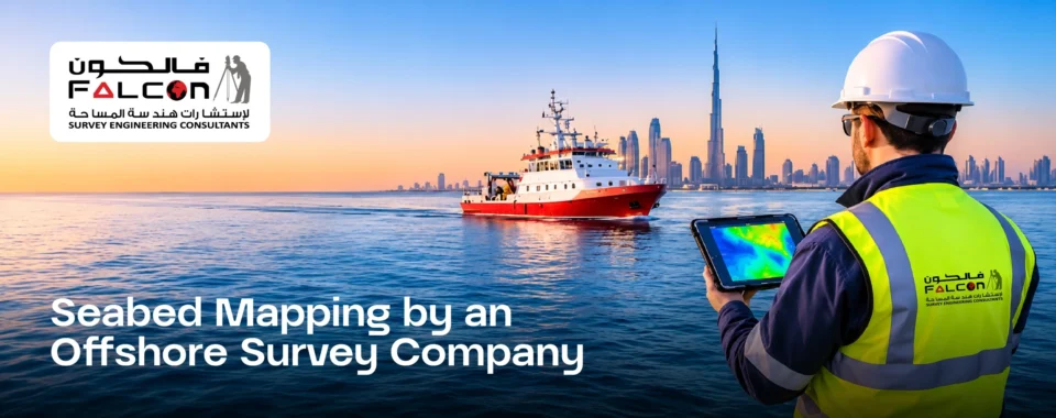
Before a port is built, a pipeline is laid, or a wind turbine is installed in the sea, one question has to be answered first: what exactly is under the water?
That is the job of an offshore survey company. Offshore work is expensive, risky and weather-dependent, so decisions cannot be based on guesses. Accurate survey data tells engineers where to build, what to avoid and how to save both time and money.
In this blog we explain, in simple words, what an offshore survey company does, which services are included, and how to choose the right partner.
What Is an Offshore Survey?
An offshore survey is the process of measuring and mapping the sea or ocean floor and the structures on or beneath it. It covers things like water depth, seabed shape, underwater obstacles, soil conditions and the position of existing pipelines or cables.
Think of it as a detailed “road map” of the seabed. Without it, any offshore construction is like driving in the dark.
Key Services Offered by an Offshore Survey Company
- Bathymetric Survey
Measures water depth and creates a detailed map of the seabed. It is essential for ports, jetties, dredging and navigation channels. - Hydrographic Survey
Covers depth, tides, currents and the shape of the coastline. It supports safe navigation and coastal planning. - Geophysical Survey
Uses sonar and other instruments to understand what lies beneath the seabed, such as rock layers, sediments and buried objects. - Pipeline and Cable Route Survey
Finds the safest and most economical path for subsea pipelines and power or communication cables. - Side Scan Sonar and Obstruction Detection
Detects wrecks, boulders, debris and other hazards that could damage vessels or structures. - Positioning and Construction Support Survey
Gives accurate positioning during installation work so that structures are placed exactly where the design says.
Offshore Survey vs Marine Survey: Is There a Difference?
People often use these two terms together, and they overlap a lot. In simple terms, offshore surveys focus on work far from the coast, such as deep-water platforms, wind farms and long pipelines. A marine survey company covers the wider marine environment, including harbours, coastal waters, ports, vessels and near-shore projects.
Many projects need both. For example, a port development may need near-shore hydrographic work from a marine survey team and offshore route surveys for a connecting pipeline. Choosing a company that offers both makes coordination much easier.
Why Accurate Offshore Surveying Matters
- Safety: Knowing about hazards in advance protects crew, vessels and equipment.
- Cost saving: Good data avoids redesign, delays and expensive offshore re-work.
- Better design: Engineers can place structures on stable ground and plan the best routes.
- Environmental protection: Mapping sensitive seabed areas helps projects avoid unnecessary damage.
- Legal and regulatory compliance: Many approvals require certified survey data.
Industries That Depend on Offshore Surveys
- Ports, harbors and jetties
- Oil and gas
- Offshore wind and renewable energy
- Subsea cables and pipelines
- Dredging and land reclamation
- Coastal protection and shipping channels
How to Choose the Right Offshore Survey Company
Ask these questions before you hire:
- Experience: Has the company done projects similar to yours?
- Equipment: Do they use modern echo sounders, sonar systems and high-accuracy GNSS positioning?
- Team: Are the surveyors qualified and experienced in offshore conditions?
- Data quality: Do they follow recognised survey standards and give clear, checked reports?
- Safety record: Do they follow strict HSE (health, safety and environment) practices?
- Support: Can they handle both offshore and a nearby marine survey company type scope, so you deal with one partner instead of many?
Why Choose Falcon Survey?
Falcon Survey is a surveying company that delivers accurate and dependable survey data for land, road, topography and marine projects. Our team focuses on:
- Precise measurement with modern survey technology
- Clear, easy-to-understand reports
- On-time delivery
- Practical support from planning to final data
Whether your project is on land, near the coast or out at sea, we provide the data you can build on with confidence.
An offshore project is only as strong as the survey behind it. Choosing an experienced offshore survey company protects your budget, your schedule and your people. If you also need coastal or harbour work, a trusted marine survey company can complete the picture.
Frequently Asked Questions
What does an offshore survey company do?
It measures and maps the seabed and underwater features to support safe and accurate offshore construction and navigation.
How long does an offshore survey take?
It depends on the area size, water depth, weather and the type of survey. Small areas may take days; large projects can take weeks.
What is the difference between offshore and marine survey?
Offshore survey usually refers to work far from the shore, while marine survey covers the wider marine environment including ports, coastal areas and vessels. Many projects use both.
Why is accurate seabed data important?
Because mistakes at sea are costly. Reliable data reduces risk, avoids delays and improves design decisions.