UAV Integration to Construction Survey
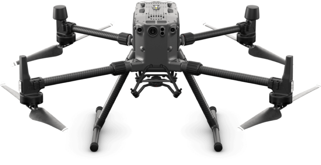
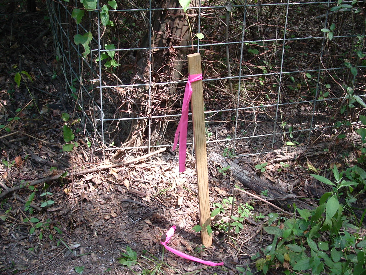
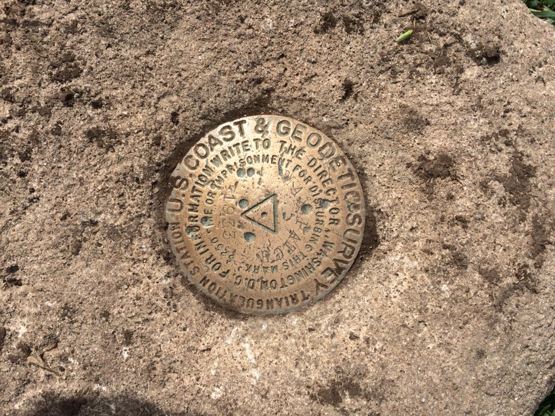
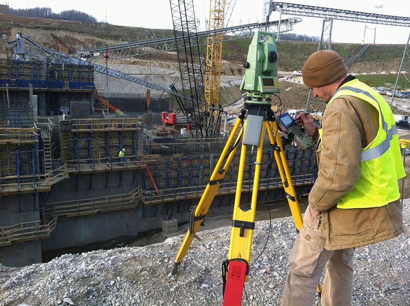
Used to verify horizontal location, elevation, and the slope of design improvements, UAV Integration to Construction Survey allows you to accurately integrate survey information with aerial photos and calculate quantities. You can now import measurement data from the UAV acquired photos into GIS or BIM deliverables.


