


+971 4 3271414
Related Services
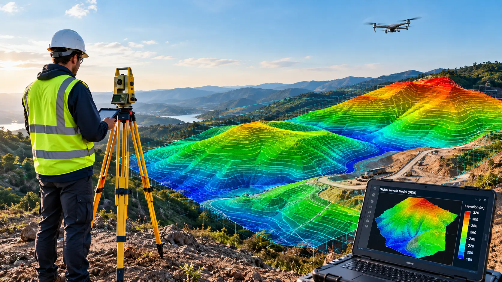
A dataset that displays the elevation of the bare land on Earth is called a digital terrain model (DTM). It just displays the shape of the terrain, leaving out trees, structures, and other surface features.
The majority of digital terrain models are saved as a grid of cells with one elevation value kept in each cell. This grid can be integrated into a 3D digital model that you can rotate and examine from any angle, or it can be displayed as a flat, color-coded map. When elevation is painted in different colors or indicated with contour lines, hills, valleys, slopes, and ridges are easily visible on DTMs.
A digital terrain model is the preferred elevation foundation for any project controlled by gravity and geography once vegetation and artificial constructions are removed.
Other Options: