

Any Questions? Let’s talk
+971 4 3271414
Related Services
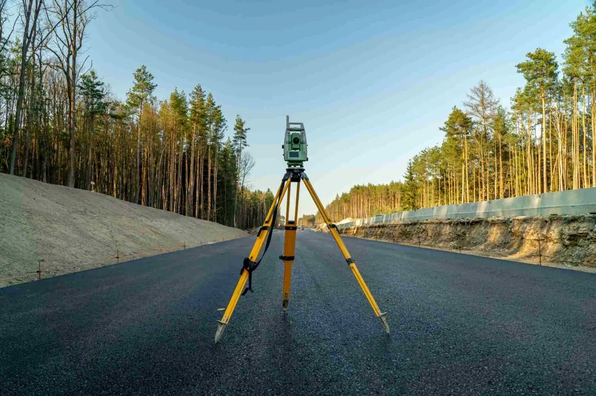
Accurate Road Surveys for Smarter Planning & Construction
Our road surveying services can include:
- Road alignment surveys
- Existing road condition surveys
- Topographical road surveys
- Road level and elevation surveys
- Longitudinal and cross-section surveys
- Setting-out and construction surveys
- Road widening surveys
- Road rehabilitation surveys
- Pavement and carriageway surveys
- Drainage and utility surveys
- As-built road surveys
- Infrastructure and highway surveys
- Right-of-way and boundary surveys
- Earthwork and quantity survey support
Why Road Surveys Are Important
Accurate survey information is essential for designing and constructing safe, efficient and properly aligned roads. A detailed road survey provides engineers and project teams with reliable information about the existing site conditions.
Key benefits include:
Accurate Road Alignment
Precise alignment information helps ensure that proposed road designs follow the required horizontal and vertical geometry.
Reliable Elevation Data
Detailed levels and profiles support grading, drainage design, earthwork calculations and road construction.
Better Design Decisions
Accurate field data gives engineers and consultants a dependable basis for planning and design.
Reduced Construction Errors
Precise setting-out and survey control help minimise discrepancies between design drawings and actual site conditions.
Efficient Project Planning
Detailed survey information helps contractors plan construction activities, quantities and resources more effectively.
Advanced Surveying Technology
Falcon Survey combines experienced survey professionals with modern surveying technology to achieve accurate and efficient results. Depending on project requirements, our road survey teams can utilise technologies such as:
- Total Stations
- GNSS/GPS Surveying
- Digital Levels
- 3D Surveying
- CAD-based survey drafting
- Digital terrain modelling
- Point cloud and 3D data processing
Why Choose Falcon Survey?
Choosing the right surveying partner is important for maintaining accuracy throughout a road project. Falcon Survey focuses on delivering dependable survey data, clear documentation and professional support.
Our strengths include:
- Experienced surveying professionals
- Modern surveying technology
- Accurate field measurements
- Detailed survey documentation
- Project-specific survey solutions
- Reliable quality control
- Support for engineers, consultants and contractors
- Coverage across the UAE
Falcon Survey provides professional road surveying solutions for projects throughout the United Arab Emirates. Whether you are planning a new road, widening an existing carriageway, developing infrastructure or carrying out rehabilitation works, our team can provide the survey data required for effective project planning and execution.
Get Professional Road Surveying Support
Accurate survey data is the starting point for successful road design and construction. Partner with Falcon Survey for dependable road survey services in the UAE and obtain the precise site information your project needs.
Topographical Survey
Boundary Survey
Aerial Survey
Road Survey
Control Point Establishment
Construction Staking
Volume Survey
GIS Mapping
Contour Mapping
Cut Fill Volume Analysis
Setting Out Survey For Land
Gate Level Computation
Control Network Establishment
GPR Underground Survey
Boundary Disputes Survey
Digital Terrain Modeling

Contact Info
- 209, 2nd Floor, Apricot Tower P.O. Box : 238544, Dubai Silicon Oasis Dubai - United Arab Emirates
- info@falconsurveyme.com
- +971 4 327 1414
- +971 4 327 1413
- Monday - Saturday: 08.00 AM to 06.00 PM | Sunday is Closed
Social Links