


+971 4 3271414
Related Services
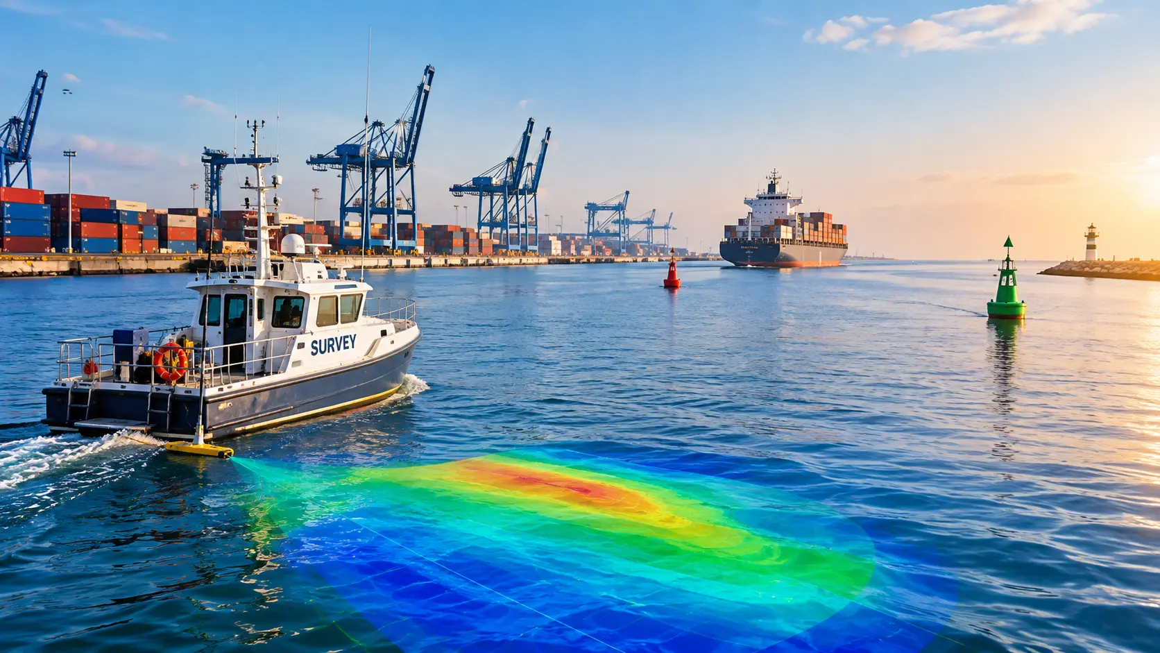
Harbors and ports are essential to international trade and transportation. Regular maintenance is necessary to maintain these rivers safe and operational. Bathymetric surveying is one of the best methods for this upkeep. This unique method aids in evaluating underwater conditions, guaranteeing structure integrity and safe navigation.
For port facilities, harbor basins, approach channels, turning areas, berthing zones, and other marine infrastructure, Falcon Survey Engineering Consultants offers specialized hydrographic and bathymetric survey services.
Our surveys are made to record the bottom conditions and underwater terrain that engineers, port operators, dredging contractors, consultants, and project owners need. We create comprehensive representations of submerged areas that may be utilized for planning, building, maintenance, and operations through methodical field data collection, positioning, bathymetric measurement, and technical processing.
A thorough grasp of seabed levels, underwater features, and changes in the maritime environment can be obtained by hydrographic surveys conducted at ports and harbors. Harbor basins, berthing areas, turning circles, approach zones, navigation routes, and other locations related to vessel operations may be covered by the survey.
For ships to function securely, a certain depth is necessary. Bathymetric studies identify sediment buildup, sandbars, and underwater obstacles that could endanger ships.
In ports and harbors, sediment accumulation is a frequent problem. Large ships may find it challenging to dock as a result of the decreased water depth. By keeping an eye on sediment levels, bathymetric surveys enable authorities to effectively plan dredging operations. This proactive strategy avoids
of Structure Seawalls, piers, and docks are constantly subject to sediment movement, tides, and water currents. These constructions may deteriorate or become unstable over time. Bathymetric studies assist in identifying structural degradation, erosion, and scouring beneath the water’s surface. Planning repairs and guaranteeing the longevity of port facilities depend on this data.
Ports must grow to handle bigger ships and more cargo as international trade rises. Planning new ports, channels, and terminals requires the use of bathymetric surveys.
Falcon Survey may create a survey scope based on the particular requirements of the project, whether it is a baseline bathymetric survey, dredge assessment, navigation channel study, or periodic monitoring program.
Our marine survey team works with clients to define the survey area, required coverage, measurement requirements, deliverables and reporting format before field operations begin. This structured approach helps ensure that the resulting survey information is relevant to the engineering and operational decisions for which it will be used.