

Any Questions? Let’s talk
+971 4 3271414
Related Services
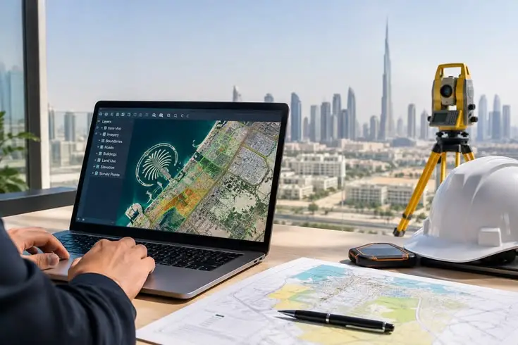
Comprehensive GIS Mapping Solutions
Every project requires accurate spatial information. Falcon Survey integrates data from multiple sources to create a unified view of the project environment, allowing important features, assets, and geographic relationships to be clearly identified and analyzed.
Our GIS mapping capabilities include:
- Topographic & Digital Mapping
- Thematic & Spatial Mapping
- Utility & Infrastructure Mapping
- Marine & Coastal GIS Mapping
- Bathymetric Data Visualization
- Pipeline & Cable Route Mapping
- Environmental & Land-Use Mapping
- Asset Mapping & Management
- Spatial Database Development
- GIS Data Integration & Analysis
- Georeferencing & Coordinate Transformation
- Custom GIS Mapping Solutions
From Field Surveys to Intelligent Maps
Falcon Survey brings together data collected through hydrographic surveys, bathymetric surveys, marine positioning, geophysical investigations, environmental surveys, and other geospatial sources.
We process and integrate these datasets into structured GIS layers, digital maps, and spatial databases, providing project teams with a comprehensive understanding of the area under investigation.
This integrated approach helps identify assets, routes, boundaries, seabed features, infrastructure, environmental constraints, and other critical spatial information in a single digital environment.
GIS for Marine & Coastal Projects
With our expertise in marine surveying, Falcon Survey provides GIS solutions specifically suited to offshore, coastal, and marine infrastructure projects.
Bathymetric information, shoreline data, marine assets, survey boundaries, navigation routes, seabed features, and environmental datasets can be combined to create a comprehensive geospatial representation of the project area.
This enables clients to visualize marine environments more effectively and supports route planning, engineering design, environmental assessment, construction planning, and asset management.
Why Choose GIS Mapping?
GIS Mapping helps clients turn complex geographic and survey data into clear information that supports faster, smarter, and more confident project decisions. At Falcon Survey, we combine data from hydrographic and bathymetric surveys, marine positioning, geophysical investigations, environmental surveys, satellite imagery, and other geospatial sources to create accurate and comprehensive digital maps. By bringing all relevant information into one intelligent spatial environment, clients can quickly visualize site conditions, identify potential constraints, assess routes, locate assets, and plan project activities with greater confidence. This integrated approach improves data accessibility, reduces uncertainty and costly surprises, streamlines project planning, and provides a reliable digital foundation for engineering, construction, infrastructure development, asset management, and long-term decision-making.
At Falcon Survey, we believe that accurate data becomes truly valuable when it can be clearly visualized and effectively used.
Our GIS Mapping services transform complex spatial information into clear maps, reliable datasets, and practical insights, helping clients plan with confidence and make informed decisions throughout the project lifecycle.
Topographical Survey
Boundary Survey
Aerial Survey
Road Survey
Control Point Establishment
Construction Staking
Volume Survey
GIS Mapping
Contour Mapping
Cut Fill Volume Analysis
Setting Out Survey For Land
Gate Level Computation
Control Network Establishment
GPR Underground Survey
Boundary Disputes Survey
Digital Terrain Modeling

Contact Info
- 209, 2nd Floor, Apricot Tower P.O. Box : 238544, Dubai Silicon Oasis Dubai - United Arab Emirates
- info@falconsurveyme.com
- +971 4 327 1414
- +971 4 327 1413
- Monday - Saturday: 08.00 AM to 06.00 PM | Sunday is Closed
Social Links