FALCON SURVEY
Drone Survey Inspection
Our drone surveys provide detailed insights that improve planning, reduce risks, and enhance project efficiency all while saving time and cost compared to traditional survey methods.
AERIAL INSPECTIONS / DRONE MAPPING
Our Drone Survey Services provide fast, accurate, and cost-effective aerial data collection for construction, infrastructure, and land development projects. Using advanced UAV technology, we capture high-resolution imagery and precise geospatial data to support planning, design, and decision-making. Drone surveying significantly reduces field time, improves safety, and delivers detailed insights that traditional survey methods cannot achieve.
Key Benefits of Drone Surveys
- High Accuracy & Detailed Data
- Faster Data Collection
- Reduced Field Risk
- Cost-Effective Survey Method
- Real-Time Project Monitoring
- Access to Difficult Terrain
- Improved Decision Making
- Construction Projects
- Land Development
- Road & Highway Projects
Drone surveying is the use of unmanned aerial vehicles (UAVs) to capture accurate aerial data for mapping, measurement, and analysis. Equipped with high-resolution cameras and advanced positioning systems, drones collect detailed images and geospatial information from above.
How Drone Surveying Works?
Drones fly over a project site following a pre-planned route to capture overlapping images. These images are processed using specialized software to generate accurate maps and models that support planning, design, and monitoring.
Why Drone Surveying is Important?
Drone surveying helps project teams save time, improve safety, and gain reliable site data for better decision-making.
GET OUTSTANDING DRONE MAPS FROM THE SKY
We provide Drone Survey Inspection Solutions Safe and efficient inspection of hard-to-reach structures such as buildings, towers, and industrial facilities.
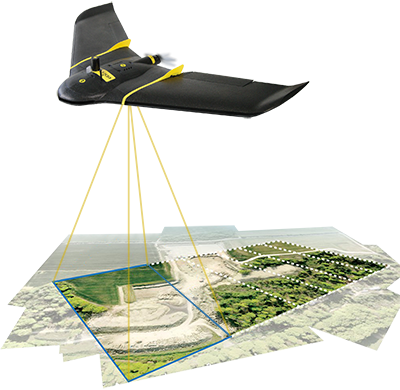
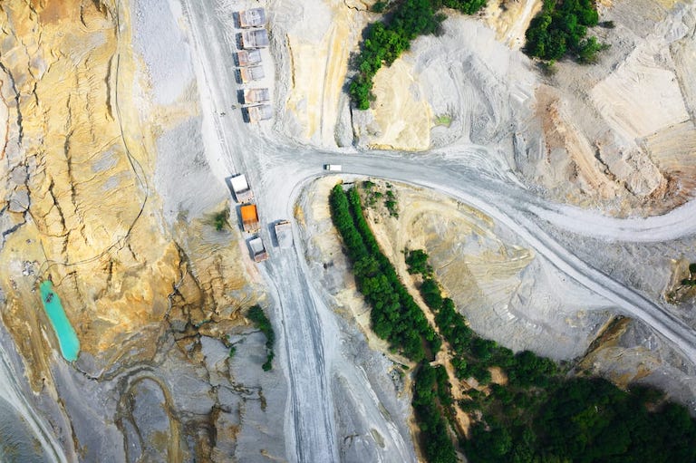
Aerial Topographic Surveys
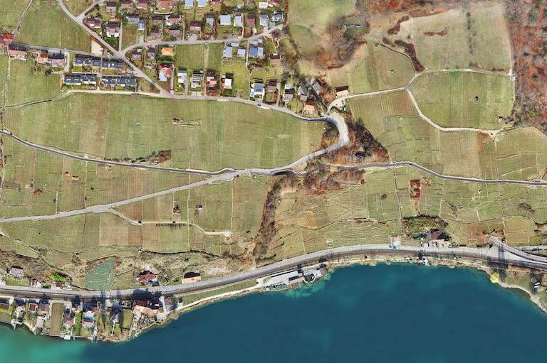
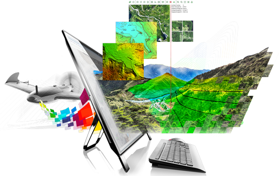
We generate accurate terrain models and contour maps to support site planning, engineering design, and land development projects.
Orthophoto Mapping
High-resolution orthomosaic images provide a clear and measurable view of project sites for planning, monitoring, and reporting.
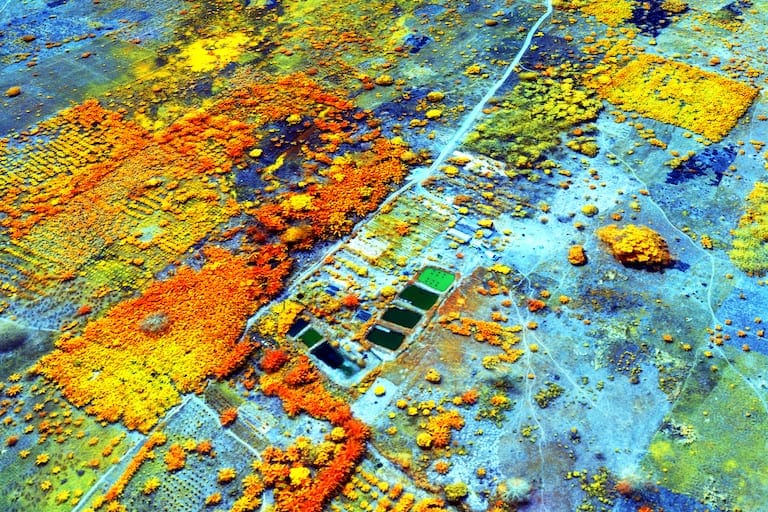
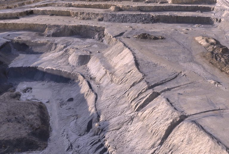
3D Mapping & Modeling
We create detailed 3D surface models and digital elevation models (DEM) for infrastructure, construction, and environmental analysis.
Construction Monitoring
Track project progress with real-time aerial updates to improve planning, reporting, and stakeholder communication.
What are the benefits of drones in surveying?
Drone surveys are useful across multiple industries including construction, infrastructure, mining, utilities, and land development.
Faster Data Collection
Drones can survey large areas in a fraction of the time required by conventional ground surveys, helping projects move forward without delays.
High Accuracy & Detailed Data
Using advanced imaging and GPS technology, drones capture high-resolution aerial data that enables precise mapping, modeling, and measurements.
Cost-Effective Solution
Drone surveys reduce the need for extensive manpower, heavy equipment, and repeated site visits — lowering overall project costs.
Real-Time Monitoring
Project teams can track progress through updated aerial data, improving communication and planning.
Improved Safety
Surveying hazardous or hard-to-reach areas becomes safer with drones, minimizing risks for field personnel.
Are you looking for Survey
Ready to get started? Let's talk.
If you are in need of a residential land survey, commercial land survey or telecommunication land survey, Falcon Survey is the land surveying firm for your project.
About us
Quick Contact
-
#209, 2nd Floor, Apricot Tower
P.O. Box : 238544, Dubai Silicon Oasis
Dubai - United Arab Emirates