AERIAL SURVEY APPLICATIONS
Civil Infrastructure Inspection
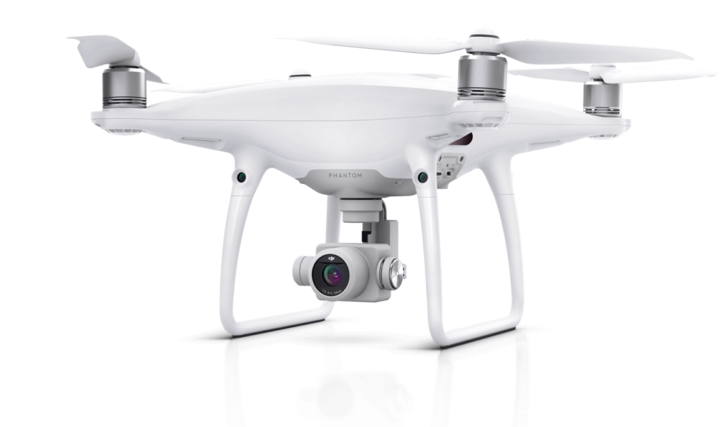
FALCON Survey's drone solution provides you with fast and thorough inspection of bridges, power lines, buildings and rooftops. Cutting costs in infrastructure maintenance with UAVs

AERIAL SURVEY APPLICATIONS
FALCON Survey's drone solution provides you with fast and thorough inspection of bridges, power lines, buildings and rooftops. Cutting costs in infrastructure maintenance with UAVs
The construction inspection sector has been quick to recognize with actual name with aerial systems as a advanced new tool offering new ways to capture and process data and cut costs and safety risks.
Advanced drones are now in worldwide use for inspecting utility towers and bridges, air drone transport infrastructure, railways, metro, bridge and roadways, and much more. They can be monitored at a fraction of the cost of traditional inspection crews, and, when equipped with the latest technologies, such as LiDAR, state of the art GNSS and inertial sensors, we can deliver the best quality in imaging and center positioning data.
INFRASTRUCTURE APPLICATIONS
Power Industries, Cell towers. Oil and Gas pipelines Sectors. Railways, railroad line Lines gas detection – all of those so several different varieties of industrial survey area unit created easier, safer, robust and a lot of economical with Microdrones remote-controlled aerial systems.
Large, advanced structures area unit best surveyed from the air. It’s no surprise that examination has been one among the primary UAV applications to be quickly and wide embraced world-wide.