
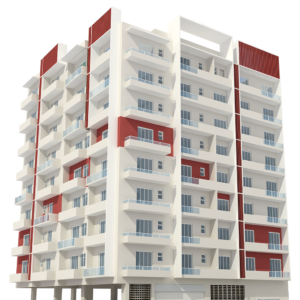
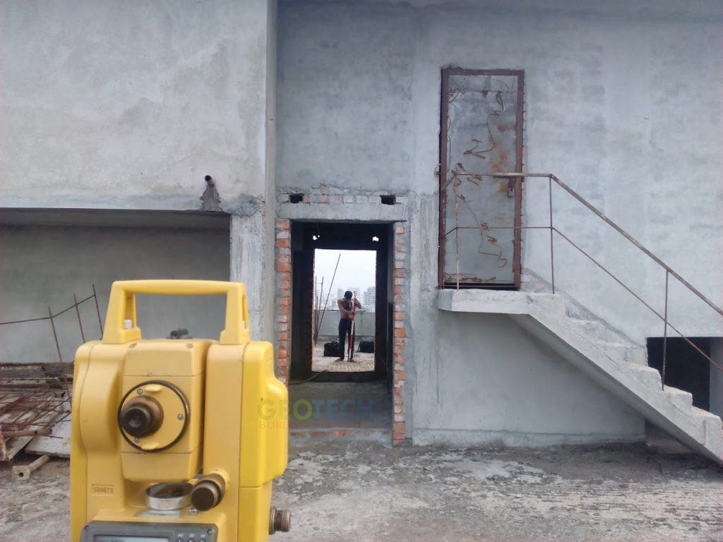
As-Built Survey
An as-built survey or a physical survey is done to show the property ‘as it is built’ at any particular point in time.
Show More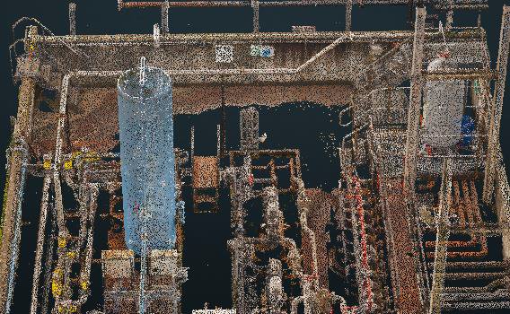
Registered Point Cloud
If you wish to complete your own post production, Falcon Surveys scan and supply a Registered Point Cloud.
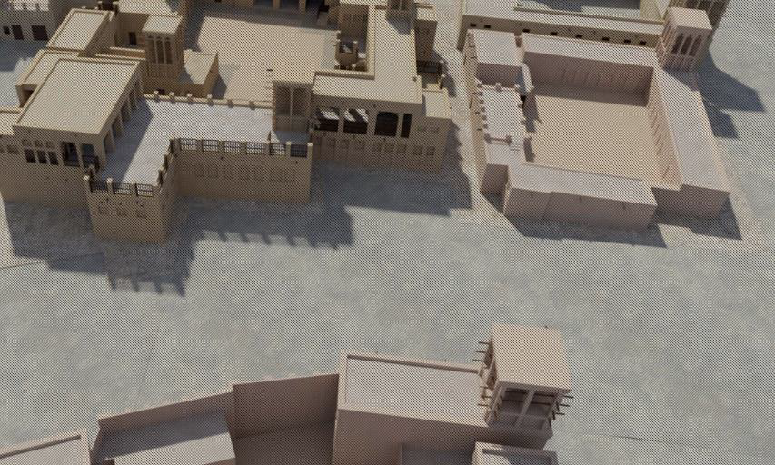
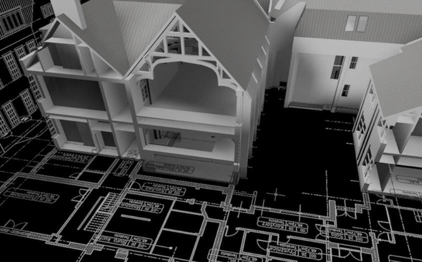
3D CAD Models
Our wide range of 3D CAD models come in many formats and levels of detail to best suit your business needs.
3D CAD Models
Our wide range of 3D CAD models come in many formats and levels of detail to best suit your business needs.
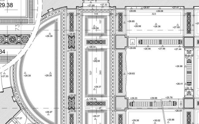
2D CAD Documentation
Generate highly accurate floor plans, sections & elevations in a variety of formats and levels of detail to suit your requirements with 2D CAD Documentation.
BIM Models
At Falcon Survey, we convert point cloud into a BIM ready format, REVIT, ARCHCAD and AECOSIM models.
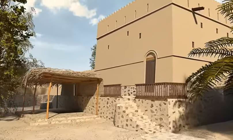
3D Virtual Reality
Using 3D Virtual Reality, we can digitize specified objects, buildings or spaces in order to create a game-like environment that has interactive 3d walkthroughs.
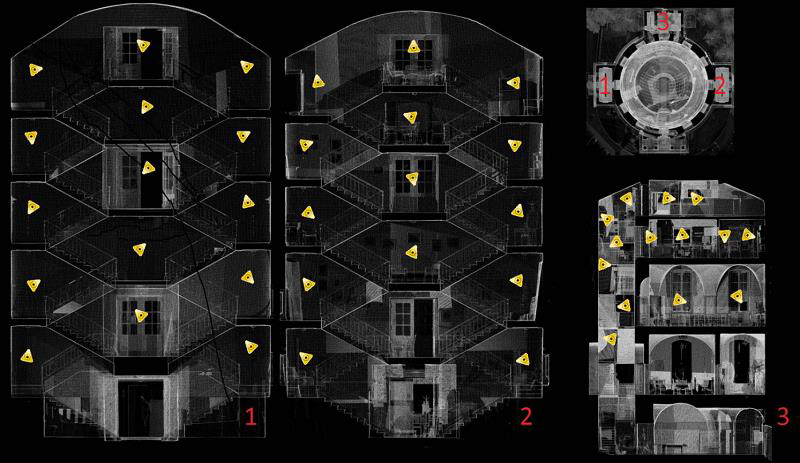
Leica TruView
Take measurements, mark up and share views with Leica TruView. By combining panoramic images with point cloud data, it provides an effective visual decision-making tool.