


Any Questions? Let’s talk
+971 4 3271414
Related Services
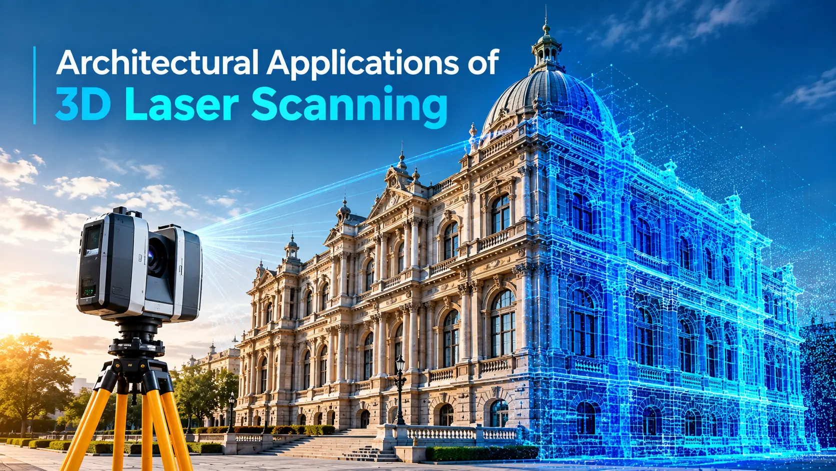
This information can be used for renovation, restoration, adaptive reuse, interior design, BIM modeling, and new construction projects.
Existing Building Documentation
Capture accurate dimensions of existing buildings, including walls, floors, ceilings, doors, windows, stairs, and structural elements. This provides architects with reliable existing-condition information for design and planning.
As-Built Documentation
Create detailed as-built records of completed buildings and architectural spaces. Laser scanning helps document actual constructed conditions where original drawings are unavailable or do not accurately represent the current building.
Renovation & Remodeling
Before renovating an existing building, 3D scanning provides an accurate digital record of the current space. Architects can use the data to understand existing dimensions and plan proposed modifications with greater confidence.
Historic Building & Heritage Documentation
Laser scanning can capture detailed architectural features of historic and heritage structures without extensive physical contact. The resulting 3D data can support documentation, restoration planning, conservation, and long-term digital preservation.
BIM & 3D Modeling
Point cloud data can be used as a reference for developing BIM and 3D architectural models. Accurate existing-condition data helps architects and BIM teams model walls, floors, structural elements, MEP systems, and other building components.
Interior Space Measurement
3D laser scanning can efficiently capture complex interiors, including rooms, corridors, staircases, ceilings, and architectural details. This information can support space planning, interior design, and refurbishment projects.
Facade & Elevation Survey
Capture detailed building facades and elevations to document architectural features, openings, levels, materials, and existing conditions. The data can be used to produce accurate elevation drawings and 3D facade models.
Floor Plans & Sections
Point cloud data can be processed to generate accurate floor plans, elevations, sections, and other architectural drawings based on existing site conditions.
Design Verification
Compare the architectural design with the existing or constructed condition to identify dimensional differences and verify that key elements have been installed according to the intended design.
Space & Area Analysis
Accurate 3D measurements can support the calculation and documentation of floor areas, room dimensions, ceiling heights, and other spatial information required for architectural planning.
Adaptive Reuse & Building Conversion
For projects that transform existing buildings into new uses, laser scanning provides detailed information about the current structure and spaces, helping architects develop designs around real-world constraints.
Planning, visualization, and construction processes are optimized by 3D scanning, whether it’s for new building, refurbishment, or monument protection. Modern laser scanners increase the effectiveness, safety, and cost-effectiveness of building projects.
3D Laser Scanning’s Advantages for Architecture
With the use of this technology, architects and designers may more precisely visualize and plan their projects, spot any structural problems or constraints, and lower the possibility of human mistake in measurements and documentation.
The Benefits of 3D Laser Scanning for Architecture
Architects and designers can utilize this technology to more accurately plan and visualize their projects, identify any structural issues or limitations, and reduce the likelihood of human error in measurements and paperwork.
Enhanced effectiveness
Architects can increase productivity and save time by streamlining the design process and eliminating the need for manual measurements and calculations by using 3D point cloud data.
Better cost management
Architects may produce more precise cost estimates and gain a better understanding of how design modifications affect project budgets by using 3D real-world data, which can assist avoid cost overruns.
Enhanced precision of the design:
Architects may produce more precise and thorough designs using 3D data, which can assist lower errors and guaranty that the finished product satisfies the necessary requirements.
Improved cooperation
Architects, engineers, contractors, and clients may work together more effectively when 3D point clouds are readily shared and accessed by many stakeholders. Not to mention that stakeholders can view it concurrently and online!
Analyzes and simulations:
Before building, plans can be tested and optimized using 3D data for analysis and simulations, which can help find and fix possible problems early on.
Benefits for Architects
- Accurate existing-condition information
- Faster building documentation
- Detailed 3D spatial data
- Reduced manual measurements
- Reliable floor plans and sections
- Support for BIM workflows
- Improved renovation planning
- Detailed facade documentation
- Better design coordination
- Digital preservation of existing buildings
From Existing Buildings to Digital Models
3D laser scanning bridges the gap between existing physical buildings and digital architectural design. From initial site documentation through renovation, BIM modeling, construction, and as-built verification, accurate scan data provides architects with a reliable foundation for their projects.