

Any Questions? Let’s talk
+971 4 3271414
Related Services
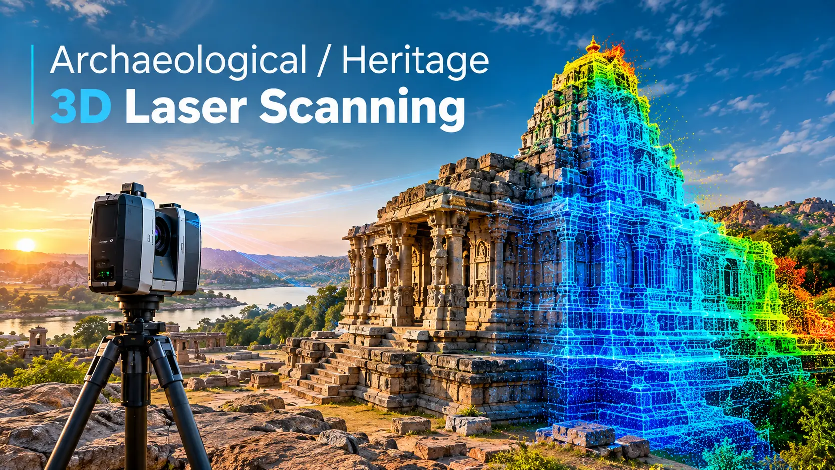
Using high-resolution laser scanning technology, millions of points can be collected to create a detailed 3D point cloud of the site. This data can then be used for documentation, conservation planning, restoration, research, digital preservation, and 3D modeling.
3D Documentation of Heritage Structures
Historic structures often contain complex architectural details, irregular surfaces, damaged elements, and unique construction features that can be difficult to document using conventional surveying methods.
3D laser scanning captures these features in their existing condition and creates a measurable digital record that can be referenced for future conservation and restoration work.
Our heritage scanning services can document:
- Historic buildings and monuments
- Archaeological sites and ruins
- Forts and castles
- Historic facades & Religious structures
- Sculptures and architectural details
- Stone structures and masonry
- Heritage landscapes
- Cultural and archaeological sites
Non-Invasive Heritage Documentation
One of the key advantages of 3D laser scanning for heritage projects is that it can capture detailed information without requiring physical contact with delicate surfaces.
The scanner records the geometry of visible surfaces remotely, helping document fragile or difficult-to-access architectural elements while minimizing physical intervention.
Applications of 3D Laser Scanning in Archaeology & Heritage
Heritage Building Documentation
Capture accurate dimensions and architectural details of historic buildings, monuments, temples, forts, and other heritage structures.
Archaeological Site Survey
Create detailed digital records of archaeological sites, ruins, structures, terrain, and surrounding features for research and documentation.
Conservation & Restoration
Provide accurate existing-condition data that can support conservation planning, restoration design, repair work, and structural documentation.
Historic Facade Survey
Capture detailed facades, decorative elements, openings, columns, carvings, and architectural features to create accurate elevations and 3D models.
Digital Preservation
Create a detailed digital record of heritage assets that can be archived and referenced for future research, conservation, education, and restoration.
3D Heritage Modeling
Point cloud data can be processed into 3D models representing the existing geometry of historic structures and archaeological sites.
Damage & Condition Documentation
Document visible cracks, deformation, missing elements, surface changes, and other geometric conditions as part of a broader heritage assessment.
Restoration Planning
Accurate scan data provides architects, conservation specialists, and engineers with reliable existing-condition information before restoration or reconstruction begins.
Historical Comparison
Repeated surveys can be compared over time to identify changes in the geometry or condition of a heritage structure, subject to the accuracy and survey methodology of the project.
Cultural Heritage Research
Detailed 3D datasets can support archaeological research, architectural analysis, historical studies, and digital interpretation of heritage sites.
Heritage Facade & Architectural Detail Survey
Historic structures often contain intricate carvings, columns, arches, ornamental features, sculptures, and irregular masonry.
3D laser scanning can capture these details at a high level of geometric resolution, allowing them to be incorporated into:
- 3D models
- Orthographic drawings
- Elevations
- Sections
- Architectural documentation
- Conservation records
- Digital archives
Archaeological Site & Landscape Mapping
For larger archaeological sites, laser scanning can capture both structures and surrounding terrain.
The resulting data can support the development of:
- Digital Terrain Models
- Digital Surface Models
- Contour maps
- Site plans
- Elevation maps
- 3D terrain models
- Site sections
- Spatial documentation
This provides a digital overview of the relationship between archaeological structures and their surrounding landscape.
Industrial Applications
Volume Calculations
Infrastructure Applications
Architecture Applications
Registered Point Cloud
3D CAD Models
3D Mesh Models
BIM Models
Plant Design Models
2D CAD Documentation
Orthophotos
3D Virtual Reality
Panoramic Images
Leica TruView
Reverse Engineering
2D/3D Floor Plan
Sectional Drawings
Facade/Elevation Building Survey
Measured Building Surveys
Concrete Scanning(Post Tension)
Stockpile Survey

Contact Info
- 209, 2nd Floor, Apricot Tower P.O. Box : 238544, Dubai Silicon Oasis Dubai - United Arab Emirates
- info@falconsurveyme.com
- +971 4 327 1414
- +971 4 327 1413
- Monday - Saturday: 08.00 AM to 06.00 PM | Sunday is Closed
Social Links